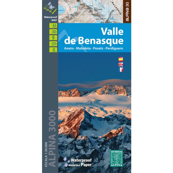
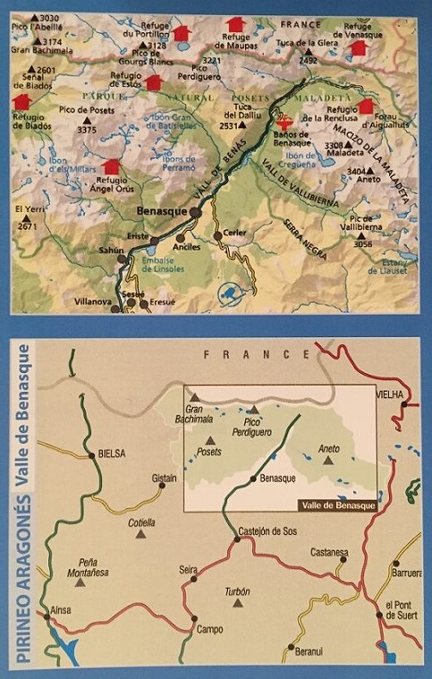
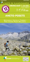
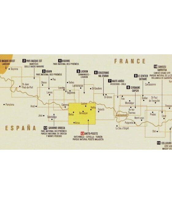
Aneto, Maladeta, Posets, Perdiguero
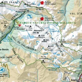
This map of the Benasque Valley in the Spanish Pyrenees was the first title
from Editorial Alpina which was prepared with water resistant and unbreakable
paper, now they have a fully updated third edition. 1:30,000 with the key
sheet in Spanish, French and English.
Mapa excursionista i guia
Escala: 1:30.000
Equidistància: 10 m
Corbes mestres: a 50 m
Ombrejat automàtic
Usos del sòl representats a 3 nivells
Quadrícula UTM amb divisions d’1 km
Compatible GPS
| Region | |
|---|---|
| Erscheinungsjahr | |
| Sprache | |
| Autor |
Recommendations on the topic
CHF 19.80 incl. MwSt.
Guidebooks Alpine Summer
CHF 27.00 incl. MwSt.
CHF 19.80 incl. MwSt.
Guidebooks Alpine Summer
CHF 25.80 incl. MwSt.
Guidebooks Alpine Winter
CHF 24.40 incl. MwSt.
CHF 28.50 incl. MwSt.
Hiking / Trekking Guidebooks
CHF 21.90 incl. MwSt.
CHF 24.50 incl. MwSt.
CHF 24.80 incl. MwSt.


