Chulus, Annapurna region 1:50 000 climbing map
Includes details of approach and climbing routes
Chulu East: Humde (Ongre airport) – Mugje – Julu- Base Camp 4600m
High Camp 1 5334m, High Camp II 5719m, Chulu East 6429m
Chulu West: Humde (Ongre Airport) – Mugje – Bhraka – Manang – Ghusang – Ledar
– Base Camp 4930m, High Camp 5530 m, Chulu West 6419m
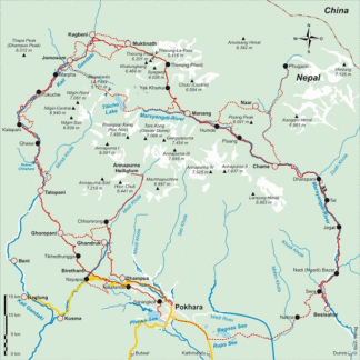
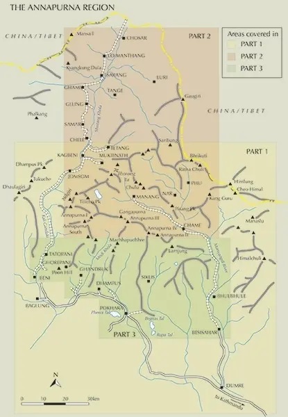
trekking routes to the Chulu peaks from the northern part of the Annapurna
circuit between Lower Pisang, Manang, Muktinath and Jomosom. Also covered are
routes to the Tilicho Lake. Contours are at 40m intervals, with relief shading
and vegetation colouring. Index lists places, peaks, lakes and passes. Margin
ticks show latitude and longitude at intervals of 2’30’’. Additional
information includes a profile of this part of the Annapurna circuit and a
table showing the routes to the Chulu peaks in stages with altitudes in metres
and feet and trekking times.
Recommendations on the topic
Hiking / Trekking Guidebooks
Hiking / Trekking Guidebooks
Hiking / Trekking Guidebooks
Trekking Annapurna – 14 treks including the Annapurna Circuit and Sanctuary
Maps
