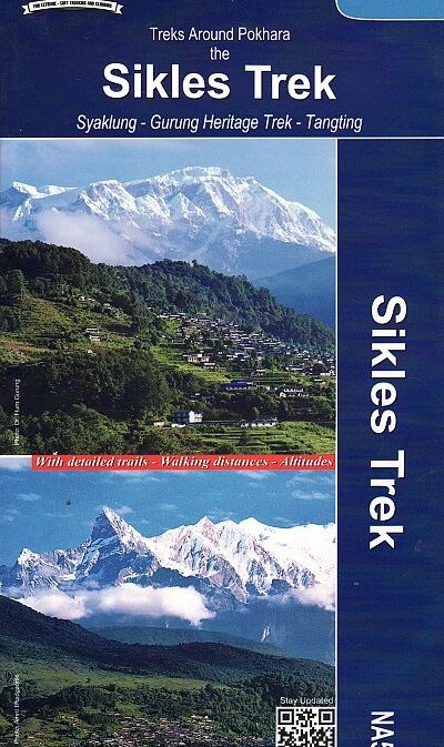
Sikles / Siklis Trek – Pokhara & Annapurna region 1:50,000 (NA514)
CHF 24.00 incl. MwSt.
Syaklung – Gurung Heritage Trek – Tangting
The Sikles (Siklis) Trek, also known as Royal Trek, takes you deep into the Annapurna Conversation Area.
Traversing through villages, rhododendron forest, high alpine meadows and resting below the soaring peaks of Annapurna region, this trek unveils the picturesque beauty of Nepal.
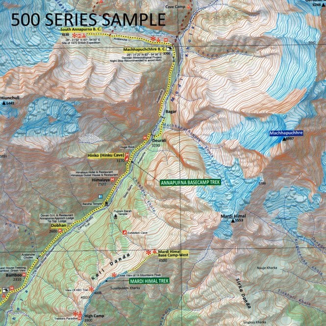
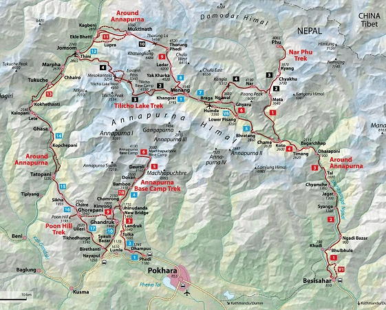
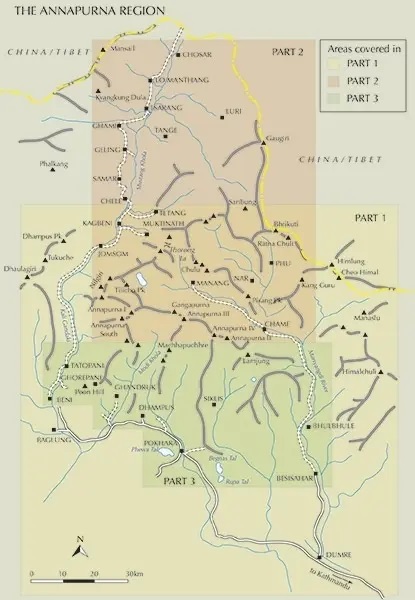
This map covers the Sikles Trek at a scale of 1:50,000, from Pokhara north-eastwards into the southern part of the Annapurna Conservation Area with highlighting for the main trail and other trekking routes in the region between Pohkara, Besi Sahar and Sikles. On the inside cover are stage-by-stage distances and timings for two main routes in this area. Contour lines are at 40m intervals.
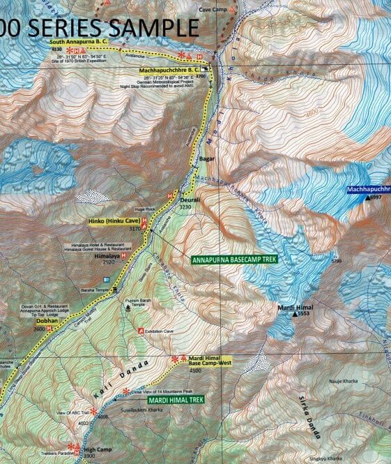
The overprint highlights main trekking routes and numerous local trails, with symbols indicating various places of interest and tourist facilities. Most maps are indexed (places, base camps, peaks, lakes and passes) and include additional information such as route profiles, glossaries, etc.
Titles in this series have cartography is based on the country’s topographic survey, with contours usually at 40m or 50m intervals, enhanced by relief shading, colouring and graphics to show various features of the terrain, including glaciers, forested or cultivated areas, etc. Numerous peaks, with additional spot heights, plus names of glaciers and mountain ranges are prominently shown. The network of rivers, streams and lakes is shown in detail, with many smaller rivers and lakes named.
All the information is in English and heights are given in metres.
90×60; Sheet map, folded
Recommendations on the topic
Hiking / Trekking Guidebooks
Hiking / Trekking Guidebooks
Trekking Annapurna – 14 treks including the Annapurna Circuit and Sanctuary
