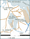
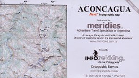
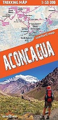
Climbers and trekkers map with approaches, scetch map, 1: 50 000
At a scale of 1:50 000, this map covers an area 16km by 34km showing Aconcagua
and the Cordillera de los Penitentes. Mountaineers and trekkers will find this
map invaluable since the four Argentine topographical maps covering the
mountain have been unavailable for many years. Contours are shown at 500m
intervals, along with approach tracks and the location of huts.
| Region | |
|---|---|
| Erscheinungsjahr | |
| Sprache | |
| Autor |
Recommendations on the topic
Maps
CHF 30.80 incl. MwSt.
Maps
CHF 28.50 incl. MwSt.
Guidebooks Alpine Summer
CHF 33.40 incl. MwSt.
Guidebooks Alpine Summer
CHF 35.70 incl. MwSt.
CHF 28.50 incl. MwSt.
Guidebooks Alpine Summer
CHF 28.40 incl. MwSt.


