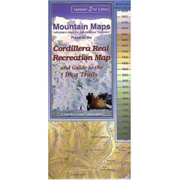
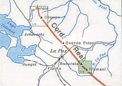
Cordillera Real Recreation Map 1: 135 000
CHF 22.70 incl. MwSt.
out of print
Adventure map for Adventure Travellers- with guide to the Inca Trails (updated
2nd. edition)
Waterproof map in color of the recreational areas around Lake Titicaca in
Bolivia, including the famous Inca Trail. Designed to orient the traveler to
the area’s mountains, lakes, rivers and trails and their position in relation
to departure points. Differentiates 6 kinds of roads, including paved roads,
dirt roads and trails. Differentiates large from small towns. Shows mines,
railroads, continuous and seasonal rivers, mountains (with altitudes in
meters), flood plains and dry riverbeds, lakes, dams, and glaciers. Color
changes and contour lines describe elevation changes. Contour intervals at 200
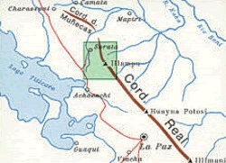
meters. Scale 1:150,000. Locator maps show the map area in relation to the
entire country and the country in relation to South America. Printed on two
sides. Reverse side includes travel tips and recommendations for the area,
along with descriptions of the treks along the Choro, Takesi and Yunga Cruz
trails. Produced with the assistance of the Secretaria Nacional de Turismo,
Regional La Paz, the Federacion Boliviana de Ski y Andinismo, the Instituto
Geographico Militar, and the Instituto Nacional de Arqueologia.
| Region | |
|---|---|
| Erscheinungsjahr | |
| Sprache | |
| Autor |
Recommendations on the topic
Guidebooks Alpine Summer


