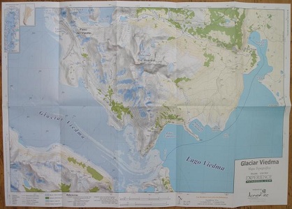
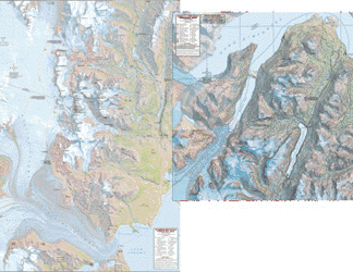
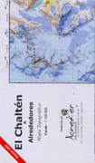
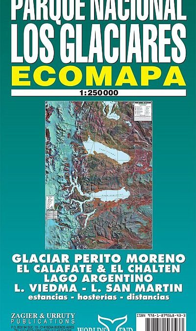
Glaciar Viedma – Paso del Viento – Paso Huemul
Topographic map 1:50000, contour interval 25m.;
Coordtinate system: UTM 18S WGS84
Filling a gap in the market this new map is based on landsat satellite imaging
with addition of contours.
Legend includes: camps, seasonal rivers, dir road, off road tracks, glacier,
snowfield, forest, bushes and grasslands etc.
| Region | |
|---|---|
| Erscheinungsjahr | |
| Sprache | |
| Autor |
Recommendations on the topic
CHF 24.00 incl. MwSt.
Video/ DVD/ Multimedia
CHF 25.70 incl. MwSt.
Documentations
CHF 39.00 incl. MwSt.
Documentations
CHF 68.00 incl. MwSt.
CHF 39.50 incl. MwSt.
CHF 23.00 incl. MwSt.
CHF 24.00 incl. MwSt.
CHF 38.60 incl. MwSt.
CHF 28.60 incl. MwSt.
Magazines
CHF 21.80 incl. MwSt.
CHF 24.00 incl. MwSt.


