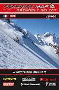
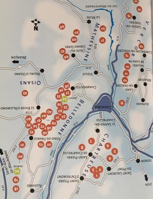
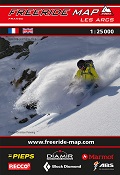
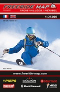
Les 7 Laux / Chamrousse / Villard les Lans
The best rides in the hottest freeride spots across the Alps – that‘s what
Freeride Maps are all about. These are worldwide unique maps for freeride
skiers and snowboarders which make local expert knowledge freely available.
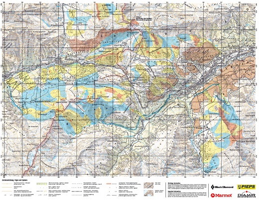
All skiable backcountry terrain is assigned one of three colour-coded
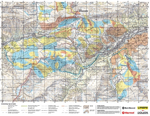
difficulty ratings. These practical maps at a scale of 1:25 000 display all
the information required for planning and carrying out a freeride tour in the
terrain.
The Freeride Map is based on the maps of the Swiss Federal Office of
Topography swisstopo and the IGN maps of France on a scale of 1:25’000. It
contains all essential information about the terrain that you will need for
planning and going freeriding.
The colour-coded freeride corridors show the areas where freeriding is
possible. They are classified into three levels of difficulty:
-Technically easy terrain
-Requires advanced to very advanced ability
-Extremely difficult terrain. Partially exposed – only for crack riders
The sectors are classified according to the levels of freeriding ability. You
must choose your route according to snow conditions and the current avalanche
situation.
-Red lines indicate inclines
-Take special care at this point!
-Wildlife protection – no freeriding!
Recommendations on the topic
Guidebooks Alpine Winter
Guidebooks Alpine Winter


