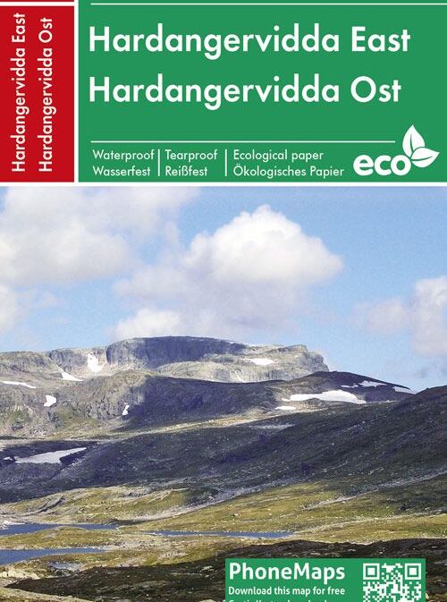
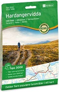
Hardangervidda Ost / Hardangervidda East 1:50’000 (Sheet 113)
CHF 27.50 incl. MwSt.
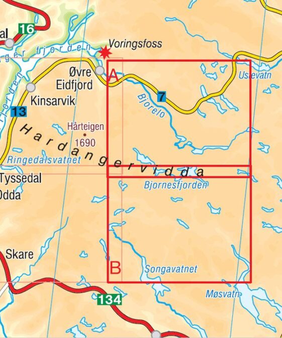
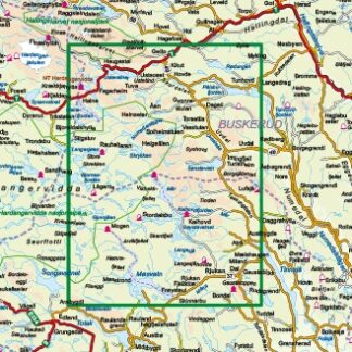
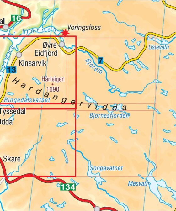
Die Wanderkarte Hardangervidda Ost im Maßstab 1:50.000, von Edition PhoneMaps,
zeigt den östlichen Teil des Nationalparks Hardangervidda.
Die Wanderkarte enthält markierte Wander- und Radwege sowie touristische und
Radinformationen. Die Karte ist auf einem innovativen ökologischen Papier
produziert. Das Papier ist naturfreundlich, recycelbar, wasserfest und
unzerreißbar und somit ideal für Outdoor-Aktivitäten.
Die Karte ist mit der App PhoneMaps verbunden. Damit kann der Benutzer
detaillierte Wander- und Radkarten aus ganze Europa kostenlos herunterladen.
The Hardangervidda East hiking map at 1: 50,000 scale, by Edition PhoneMaps,
shows the eastern part of the Hardangervidda National Park.
The hiking map includes marked hiking and biking trails as well as tourist and
cycling information. The map is produced on an innovative ecological paper.
The paper is nature friendly, recyclable, waterproof and tearproof, making it
ideal for outdoor activities. The map is connected to the PhoneMaps app. It
allows users to download detailed hiking and cycling maps from across Europe
for free.
| Region | |
|---|---|
| Erscheinungsjahr | |
| Sprache | |
| Autor |
Recommendations on the topic
Guidebooks Alpine Summer
Hiking / Trekking Guidebooks


