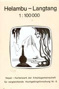
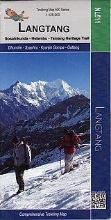
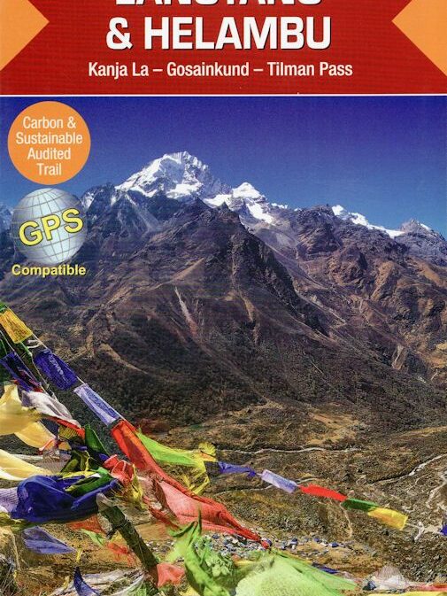
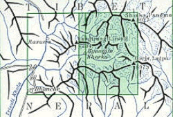
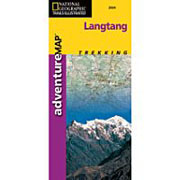
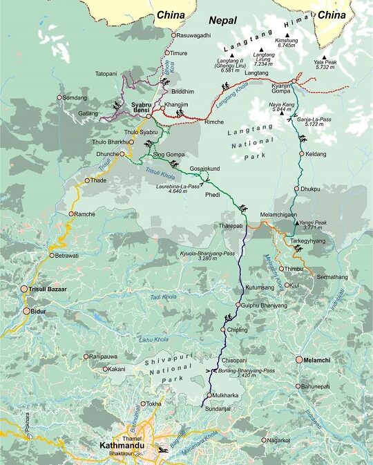
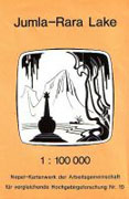
It covers all of Gosainkund and Helambu, except the hill to Kathmandu. Of the
Langtang trek it covers everything useful to a teahouse trekker, but for the
explorer, it ends at the glacier at Langshisha.
Einzelblattkarten mit Höhenlinien in einer Äquidistanz von 40 m (1:50.000)
bzw. 100 m (1:100.000), Schummerung, detaillierte Darstellung der Felsen,
Gletscher, Moränen, Wald- und kultivierten Flächen und Siedlungen, teilweise
mit Wegmarkierungen, ohne Angabe der Projektionsarten, in unterschiedlichen
Formaten.
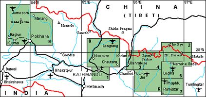
siehe Übersicht: No. 8 Helambu-Langtang (1:1000.000)
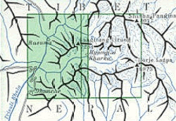
A physical topography map with fieldwork undertaken by E.Schneider and revised
using the Eastern Nepal Topographic Mapping Project of 1995.
| Region | |
|---|---|
| Erscheinungsjahr | |
| Sprache | |
| Autor |
Recommendations on the topic
Hiking / Trekking Guidebooks
Maps
Hiking / Trekking Guidebooks
Maps
Hiking / Trekking Guidebooks
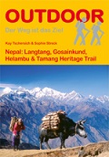
Nepal: Langtang, Gosainkund, Helambu & Tamang Heritage Trail
Hiking / Trekking Guidebooks


