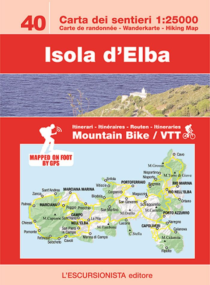
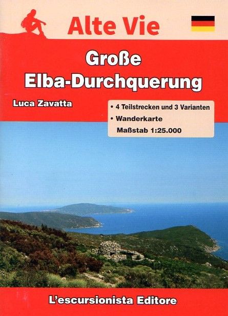
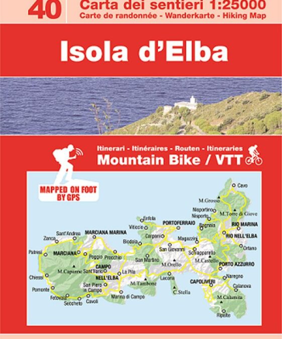
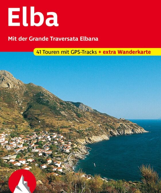
Wander- & Mountainbike-Karte für die Insel Elba mit einem Beiheft zur Großen Elba-Durchquerung GTE in deutscher Sprache.
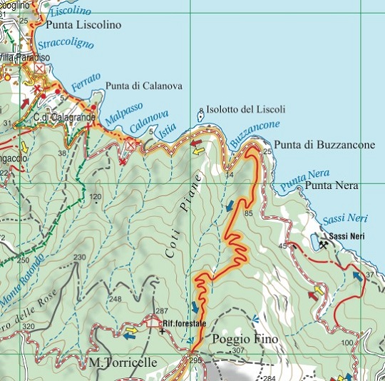
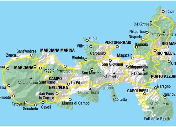
Isola d’Elba’s hiking and MTB map at a 1:25.000 scale with a WGS84 grid (1km).
All data has been gathered by walking each route with a GPS device.
32 page guide-book which includes The Great Elban Traverse
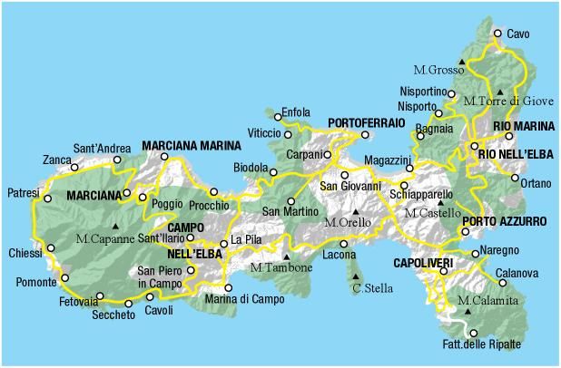
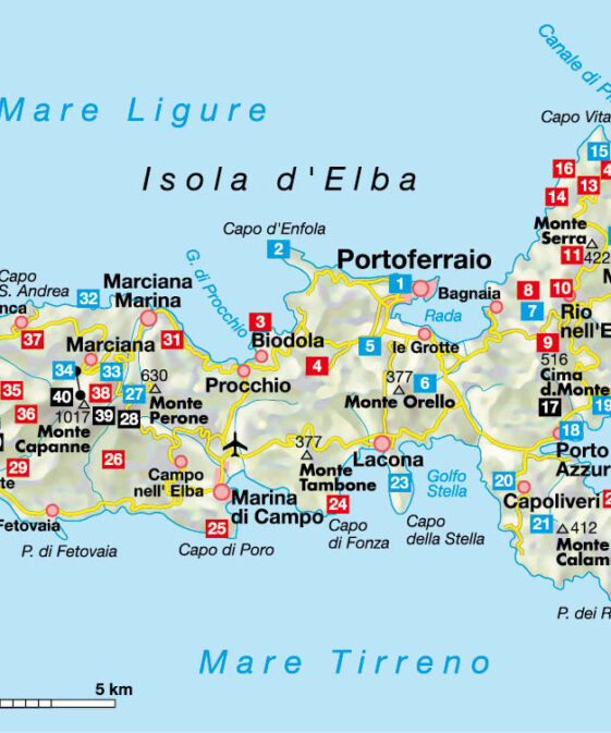
The Great Elban Traverse trek follows a mountain ridge high above the crystal
clear blue sea and the scents of the Mediterranean maquis, in the heart of the
Parco Nazionale dell’Arcipelago Toscano. Four stages explore the backbone of
the island from north-east to west, from Cavo all the way to Patresi or
Pomonte, with overnight stays in lovely villages where the local cuisine can
be enjoyed. Elba was Napoleon’s island for a short but significant period. A
number of variants are given so that walkers can modify the route according to
personal needs, and full details are provided for preparing the trek
Carta dei sentieri dell’Isola d’Elba con percorsi mountain bike e reticolo
chilometrico WGS84. I sentieri sono stati rilevati sul territorio con
apparecchiatura satellitare GPS.
Guida della Grande Traversata Elbana, un trekking sul filo delle montagne,
sospesi sul mare cristallino tra i profumi della macchia mediterranea, nel
cuore del Parco Nazionale dell’Arcipelago Toscano. In quattro tappe si
percorre tutta la dorsale dell’Isola da nord-est ad ovest, da Cavo fino a
Patresi o Pomonte, pernottando in splendidi paesi in cui assoporare l’ottima
cucina locale. Per un breve periodo l’Elba fu l’Isola di Napoleone che vi
lasciò un’impronta indelebile. Numerose le varianti proposte per
personalizzare il trekking a propria misura, oltre a tutti i numeri utili per
programmare al meglio l’escursione.
| Region | |
|---|---|
| Erscheinungsjahr | |
| Sprache | |
| Autor |
Recommendations on the topic
Hiking / Trekking Guidebooks


