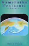
Kamchatka Peninsula Map And Guide 1:1,000,000
CHF 24.60 incl. MwSt.
out of print
Area: Russia, Kamchatka Peninsula, Scale 1:1,000,000
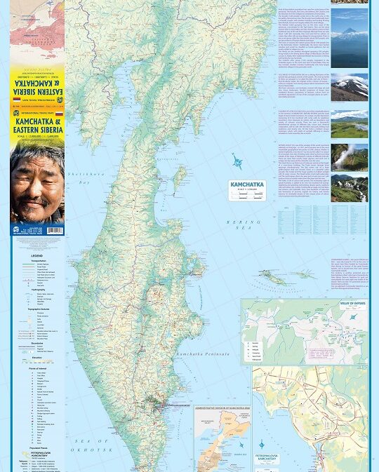
A detailed topographical map of Russia’s Kamchatka Peninsula. Foreign travel
to this area of untouched wilderness, volcanoes and hot springs only began in
the 1990s. Edited by a local kamchatka guide
The map’s reverse side features a unique collection of pictures taken from
space of the peninsula’s most fascinating and popular regions.
The seven regions covered are:
The Kluchevskoy Group of volcanoes
Kronotsky Reserve
Karimsky Volcano
Avacha Bay
Mutnovsky Volcano
Ksudach Caldera
Kurilskoye Lake
Each image is superbly clear and detailed, allowing you to trace your route
and get a feel for the actual outlay of the terrain.
For orientation, a small map highlights the approximate boundaries covered by
each photograph (see expanded image).
Expanded captions, accompanying every picture, describe the particular area
and provide a variety of facts about its geological features. 635x932mm double
sided
| Region | |
|---|---|
| Erscheinungsjahr | |
| Sprache | |
| Autor |
Recommendations on the topic
Hiking / Trekking Guidebooks
Documentations


