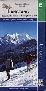
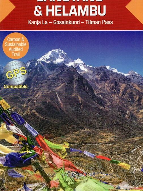
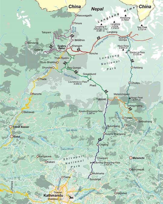
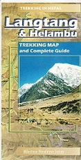
Gosainkund and Helambu 1:125’000 NL511
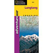
Langtang – Tamang Heritage Trail map 1:25,000
detailed trails, walking distances, altitudes – also panoramic view of
Langtang & Ganesh Himal Range
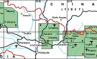
Langtang, Gosaikund and Helambu area immediately north-east of Kathmandu in
the Nepa Maps series which provides extensive coverage of trekking areas of
Nepal on detailed contoured maps with trekking routes and hiking trails, huts
and camp sites, local places of interest and other tourist information.
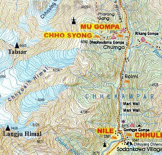
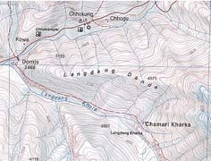
Cartography is based on the country’s topographic survey, with contours
usually at 40m or 50m intervals, enhanced by relief shading, colouring and
graphics to show various features of the terrain, including glaciers, forested
or cultivated areas, etc. Numerous peaks, with additional spot heights, plus
names of glaciers and mountain ranges are prominently shown. The network of
rivers, streams and lakes is shown in great detail, with many smaller rivers
and lakes named.
Frontside: Langtang – Gosainkund & Helambu 1 : 120 000
Trisuli Bazar – Dhunche – Syabru – Lama Hotel
Langtang Village – Kyanjin Gompa – Langshisa Glacier
Kanja La – Tarkeghyang – Melamchi Bazar – Kathmandu
Backside: Langtang – Tamang Heritage Trail 1 : 25.000
Syaphru – Goljung – Parvati Kund – Gatlang – Thambuchet
Tatopani – Nagthali – Timure – Rasuwagadhi – Briddhim – Syaphru
Recommendations on the topic
Hiking / Trekking Guidebooks
Maps
Hiking / Trekking Guidebooks
Hiking / Trekking Guidebooks
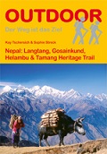
Nepal: Langtang, Gosainkund, Helambu & Tamang Heritage Trail
Hiking / Trekking Guidebooks
Hiking / Trekking Guidebooks


