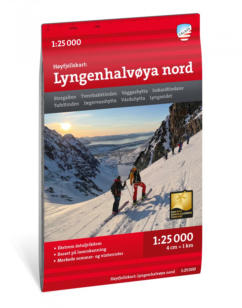
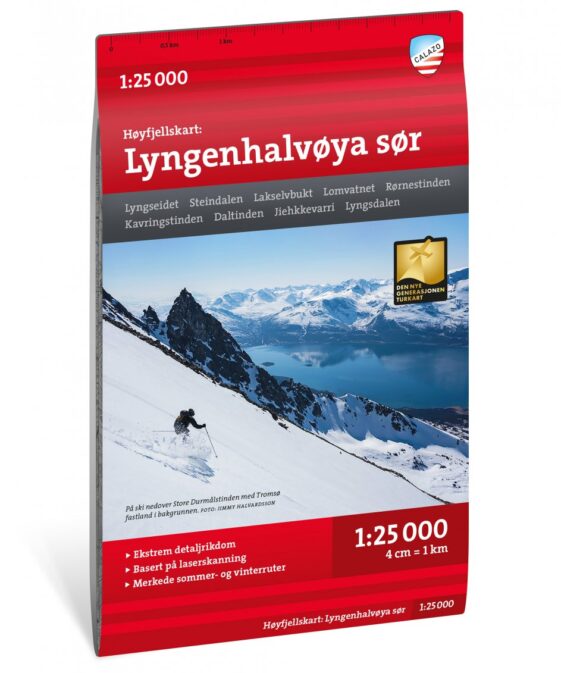
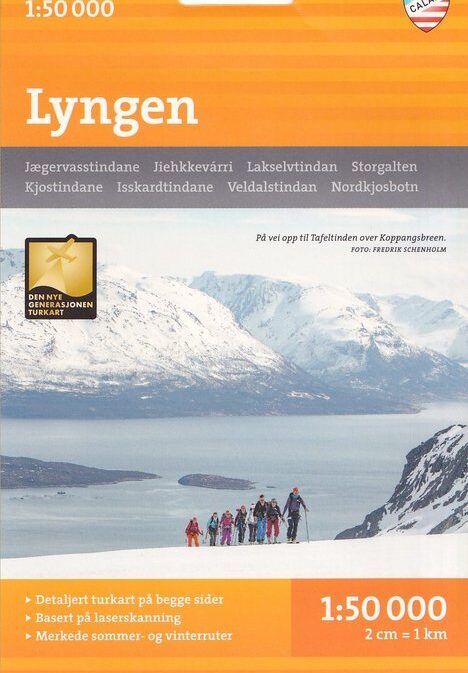
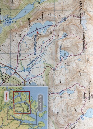
Høyfjellskart Lyngenhalvøya nord 1:25 000
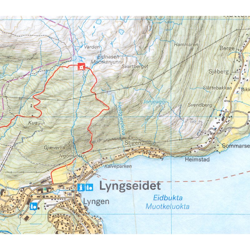
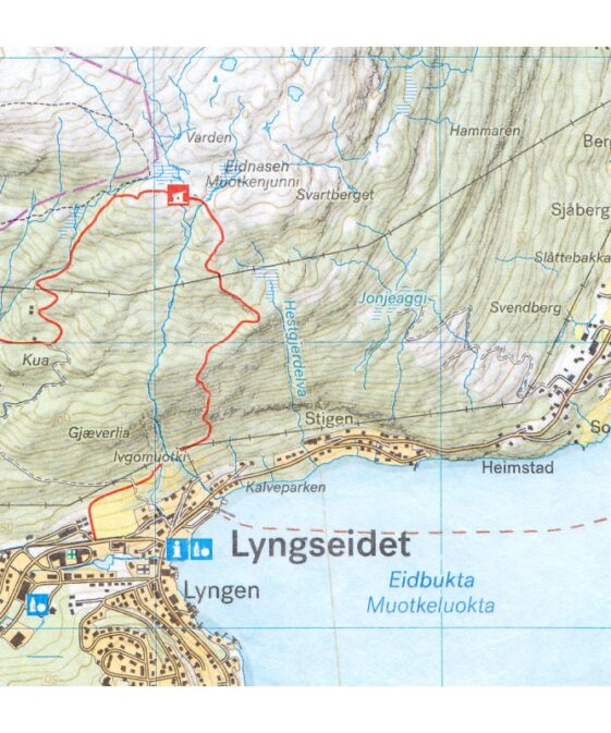
Calazo Høyfjellskart is a series of topographic maps specially developed for mountain activities in Norway’s most popular hiking and skiing regions. The maps are based on high-resolution LIDAR data, which provides exceptionally detailed and accurate terrain information – ideal for navigation in demanding alpine environments.
Trail information is carefully updated using aerial imagery and local knowledge to ensure reliability. All maps are printed on durable Tyvek® material, making them completely waterproof and highly tear-resistant – perfect for use in all weather conditions, year-round.
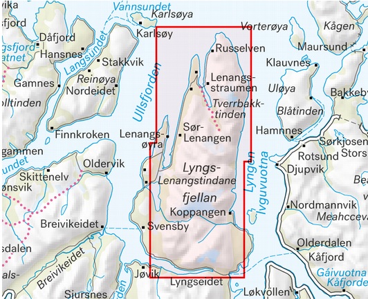
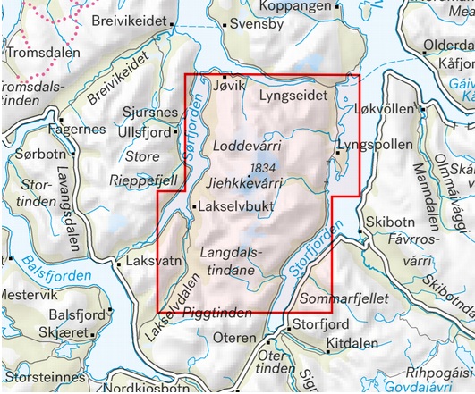
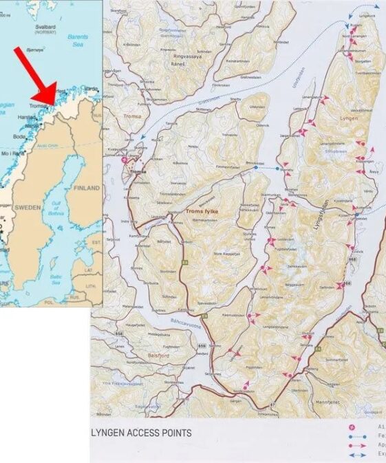
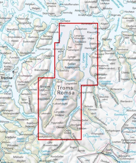
Beidseitig bedruckte Bergwanderkarte für die Bergwelt im Norden der Lyngenhalbinsel, die östlich von Tromsø in Nordnorwegen liegt, herausgegeben. Die Karte basiert auf topographischen Kartendaten und ist auf synthetischem Papier (Tyvek) gedruckt, so dass eine hohe Reiß- und Wasserfestigkeit gewährleistet ist.
Weitere geographische Hinweise: Storgalten, Tverrbakktinden, Vaggashytta, Isskardtindane, Tafeltinden, Jægervasshytta, Varduhytta, Lyngseidet.
Karteninhalt: topographische Karte mit Straßen, Wegen, Fährlinien, Eisenbahnlinien, Orten, Wohnplätzen, Gewässern, Landschaftsnamen, Grenzen, Landschaftsformen (Wald, offenes Gelände, bebaute Gebiete, landwirtschaftliche Nutzflächen, Felsgebiete, Feuchtgebiete, Gletscher), Höhenlinien, Äquidistanz: 10 m, Höhenpunkten etc.; touristische Informationen: Wanderwege, präparierte Skiloipen, Schneemobil-Routen, Hütten, Unterstände, Fußgängerbrücken, Campingplätze, Serviceeinrichtungen; geographische und geodätische Koordinaten nach EUREF89 (entspricht WGS 84), Legende: norwegisch, englisch
| Region | |
|---|---|
| Erscheinungsjahr | |
| Sprache | |
| Autor |
Recommendations on the topic
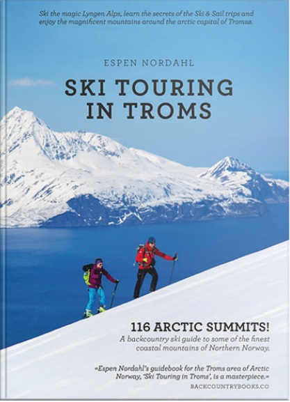
Guidebooks Alpine Winter
Maps
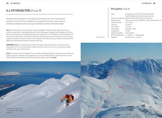
Guidebooks Alpine Winter


