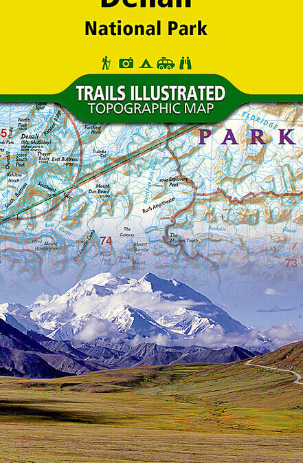
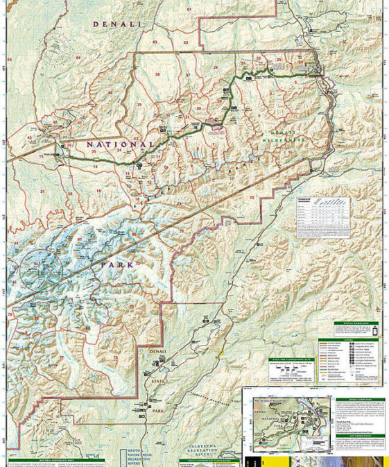
Best map of the Denali – region!
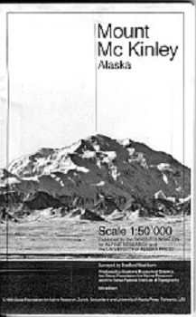
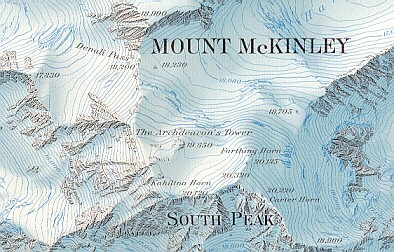
This large-scale, full color map of Mount McKinley was
surveyed and edited by Bradford Washburn—mountaineer, explorer, and former
director of the Boston Museum of Science. The map represents the results of
seven expeditions to, up, and over Mount McKinley under Washburn’s leadership.
It was stereo-contoured in Switzerland by Wild Heerbrugg Limited and printed
by the Swiss Federal Institute of Topography—the world’s top experts in map
making.
While popular with climbers and those planning expeditions to the mountain,
the McKinley map will continue to be enjoyed by all map users regardless of
their special field of interest.
Diese Karte isrt von der Swiss Foundation for Alpine Research und vom bekannten
Bundesamtes für Landestopographie (CH) im Maßstab 1:50.000. Sie enthält
reichhaltige Farbabstufungen, wodurch die Details sehr gut sichtbar sind. Man
bekommt sofort einen Überblick über die auf der Karte dargestellte Region.
| Region | |
|---|---|
| Erscheinungsjahr | |
| Sprache | |
| Autor |
Recommendations on the topic
Guidebooks Alpine Summer
Video/ DVD/ Multimedia
Guidebooks Alpine Summer
Documentations
Magazines
Documentations
Documentations
