Mount Qomolangma (Sagramatha) Everest 1: 100 000
CHF 34.30 incl. MwSt.
high quality four- colour topographical map with marked approach routes and helpful information on the Everest / Cho Oyu / Makalu region.
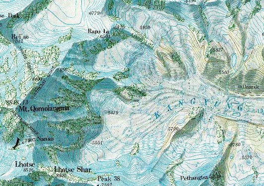
These English-language maps, produced by a cartographer/geographer in Xi’an, offer superb topographic detail and descriptive text of major peaks such as Mt. Everest, K2, and several others. Contour interval is typically 40 meters; superb topographic maps of major mountain peaks in China.
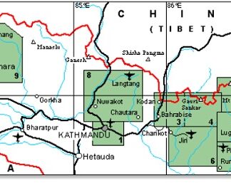
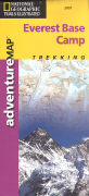
High quality full-colour area map of the Everest region. Coverage extends from Pangboche north to Rongpusi in Tibet, west to Cho Oyu and east to Yupar. International borders are not shown. Contours marked at 40m intervals with relief-shading and spot heights.
The reverse has useful information on geology, climate, and climbing routes with a B/W satellite image of the area.
| Region | |
|---|---|
| Erscheinungsjahr | |
| Sprache | |
| Autor |
Recommendations on the topic
Hiking / Trekking Guidebooks


Hiking / Trekking Guidebooks

Video/ DVD/ Multimedia
Video/ DVD/ Multimedia

Documentations
Guidebooks Alpine Summer