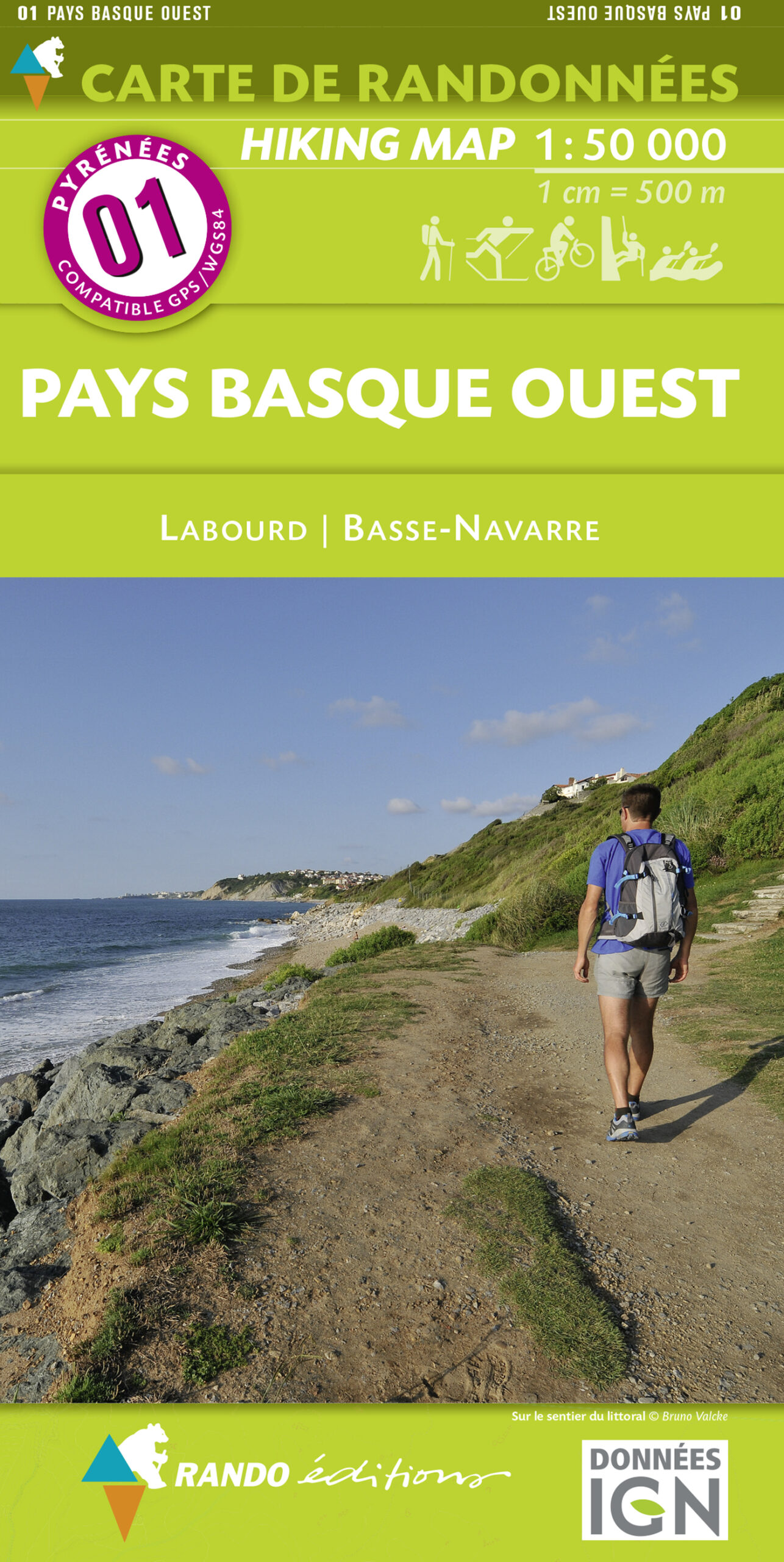
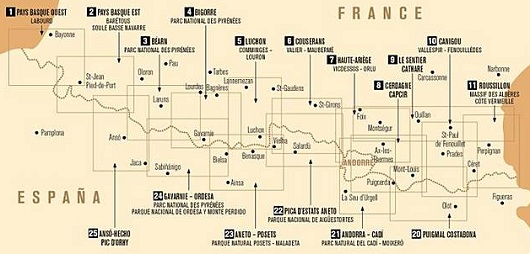
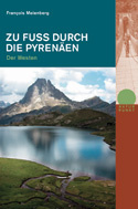
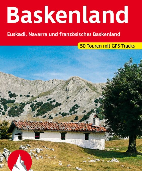
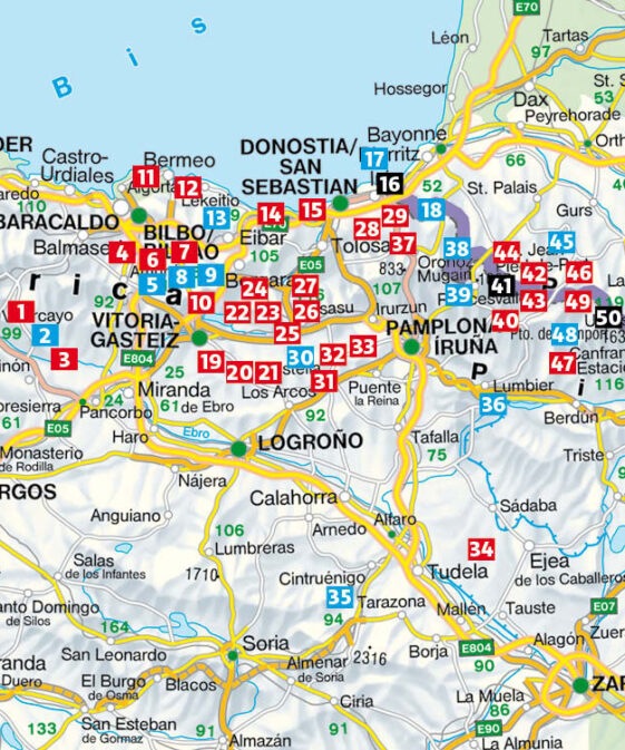
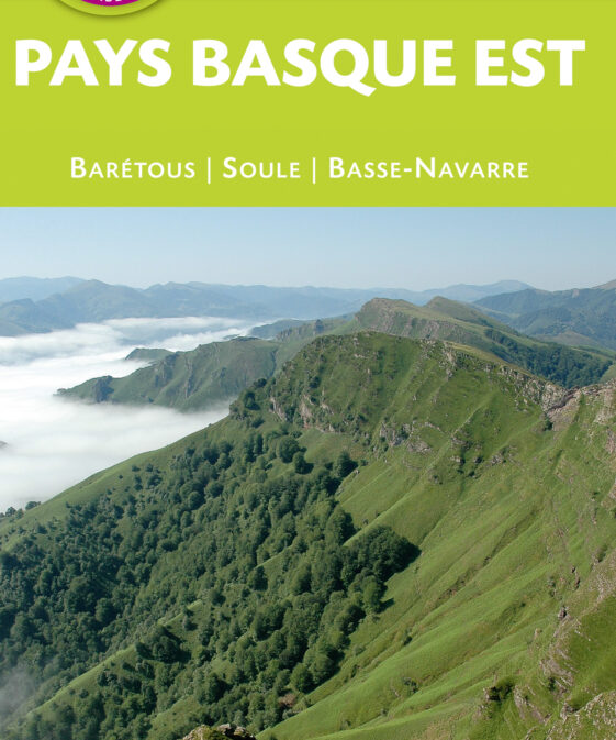
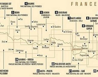
In the series of Randonnees Pyreneennes – this is a map of the Pyrenees on the
Spanish side – A series of seventeen topographical maps, using an IGN base
map, covering the French border with Spain, right through to the
Mediterranean.
They are ideal for walking, climbing, skiing, cycling and horse-riding. They
are easy to use and include relief shading and contour lines.
Gebiet: Bayonne, La Rhune, Baigura, (carte de randonnées No. 01)
| Region | |
|---|---|
| Erscheinungsjahr | |
| Sprache | |
| Autor |
Recommendations on the topic
Guidebooks Rock climbing / Bouldering
CHF 48.00 incl. MwSt.
Hiking / Trekking Guidebooks
CHF 22.00 incl. MwSt.
Hiking / Trekking Guidebooks
CHF 23.90 incl. MwSt.
CHF 19.80 incl. MwSt.


