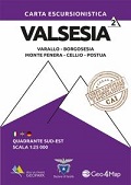
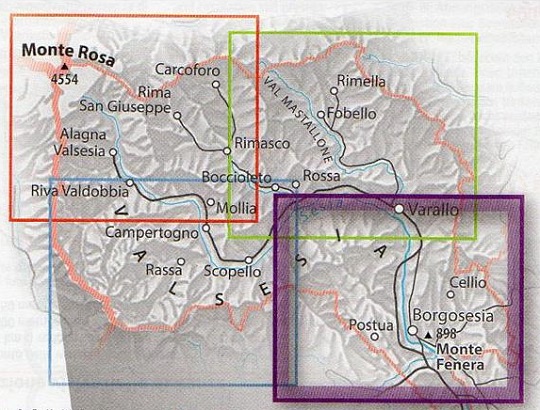
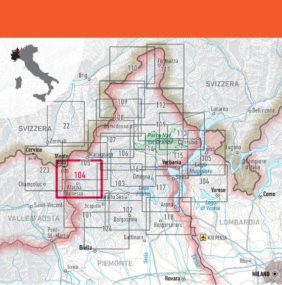
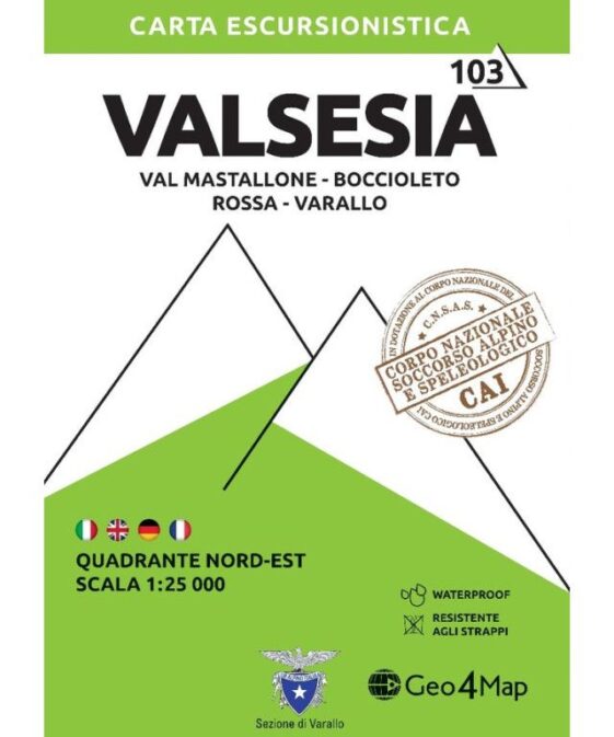
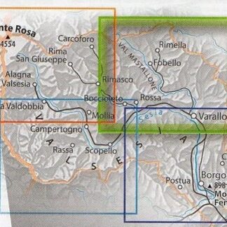
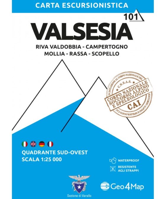
Valsesia – Varallo, Borgosesia, Monte Fenera, Cellio, Postua 1:25’000
CHF 21.50 incl. MwSt.
Clear mapping, contour lines every 20 metres and trailfinders enable hikers
and active outdoor lovers to choose and tackle routes in full safety.
Thanks to the collaboration of Club Alpino Italiano of Varallo and Corpo
Nazionale di Soccorso Alpino e Speleologico of Piedmont, Geo4Map offers
precise and updated mapping of the trails, with new 2014 numbering and graphic
diversification of the level of difficulty. In addition, there’s a summary
table of the trails shown on the map, allowing hikers to check quickly the
departure and arrival points, altitude, differences in height and walking
times, and first aid basics.
All contents are translated in Italian, English and German.
| Region | |
|---|---|
| Erscheinungsjahr | |
| Sprache | |
| Autor |
Recommendations on the topic
Hiking / Trekking Guidebooks
Hiking / Trekking Guidebooks


