

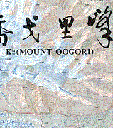
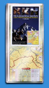
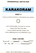
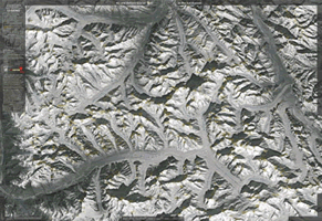
K2 (Mount Qogori) 1: 100 000
CHF 34.30 incl. MwSt.
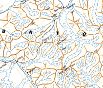
high quality four- colour topographical map with marked approach routes and
helpful information on the region. covers K2, Gashebrum, Broad Peak, Baltoro.
These English-language maps, produced by a cartographer/geographer in Xi`an,
offer superb topographic detail and descriptive text of major peaks such as
Mt. Everest, K2, and several others. Contour interval is typically 40 meters;
superb topographic maps of major mountain peaks in China.
| Region | |
|---|---|
| Erscheinungsjahr | |
| Sprache | |
| Autor |
You may also like…
CHF 22.00 incl. MwSt.

Magazines
CHF 19.80 incl. MwSt.
Guidebooks Alpine Summer
CHF 44.60 incl. MwSt.
Out of stock
CHF 27.60 incl. MwSt.
CHF 29.00 incl. MwSt.
Documentations
CHF 22.90 incl. MwSt.
Guidebooks Alpine Summer
CHF 54.80 incl. MwSt.

Calendars / Posters
CHF 37.40 incl. MwSt.
Documentations
CHF 41.70 incl. MwSt.


CHF 27.80 incl. MwSt.

Documentations
CHF 21.30 incl. MwSt.

CHF 31.50 incl. MwSt.
Out of stock
CHF 31.10 incl. MwSt.
Documentations
CHF 58.00 incl. MwSt.

Out of stock
CHF 12.50 incl. MwSt.
