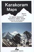

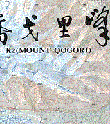
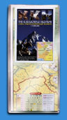
K2 (Mount Qogori) 1: 100 000
CHF 34.30 inkl. MwSt.
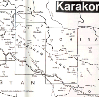
high quality four- colour topographical map with marked approach routes and
helpful information on the region. covers K2, Gashebrum, Broad Peak, Baltoro.
These English-language maps, produced by a cartographer/geographer in Xi`an,
offer superb topographic detail and descriptive text of major peaks such as
Mt. Everest, K2, and several others. Contour interval is typically 40 meters;
superb topographic maps of major mountain peaks in China.
| Region | |
|---|---|
| Erscheinungsjahr | |
| Sprache | |
| Autor |
Das könnte dir auch gefallen …

Kalender/ Posters
Führerliteratur Alpin Sommer
Sachbücher/ Dokumentationen
Landkarten
Landkarten

Sachbücher/ Dokumentationen
Sachbücher/ Dokumentationen

Landkarten
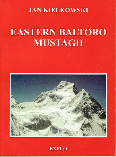
Führerliteratur Alpin Sommer

Zeitschriften


Landkarten
Sachbücher/ Dokumentationen