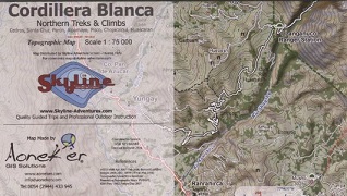

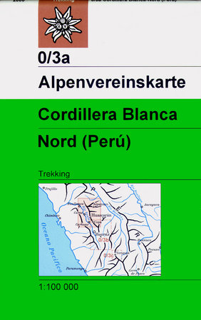
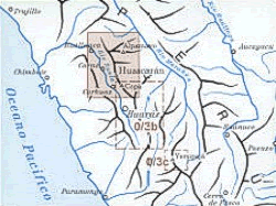
Cordillera Blanca Northern Treks & Climbs 1:75’000
CHF 26.30 incl. MwSt.
out of print
Cedros, Santa Cruz, Alpamayo, Pisco, Chopicalqui, Huascaran
Topographical map, northern part of the Cordillera Blanca
Topographische Karte des nördlichen Teils der Cordillera Blanca (25 m
Höhenlinienabstand).
| Region | |
|---|---|
| Erscheinungsjahr | |
| Sprache | |
| Autor |
Recommendations on the topic
Hiking / Trekking Guidebooks
CHF 28.50 incl. MwSt.
Nicht vorrätig
Guidebooks Alpine Summer
CHF 52.00 incl. MwSt.

CHF 26.30 incl. MwSt.
CHF 22.00 incl. MwSt.