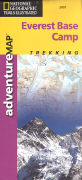
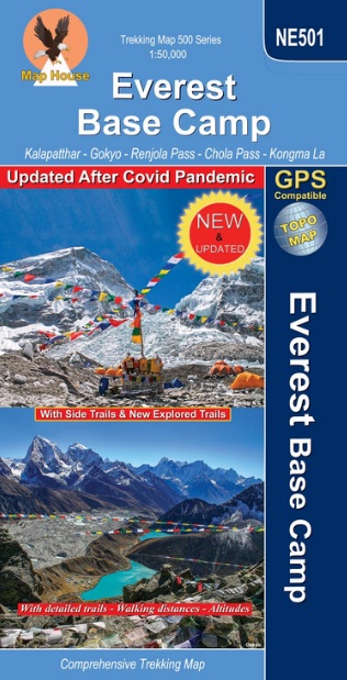
Everest Base Camp Adventure trekking map 1:50`000
CHF 16.90 incl. MwSt.
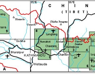
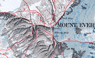
A co-production between National Geographic Trails Illustrated and Himalayan
MapHouse, this map provides the visitor to the Everest region with a wealth of
information. The super-detailed 1:50,000 map of the area shows settlements,
roads and trekking routes, local airports, temples, monasteries, caves,
waterfalls plus a host of other useful tourist information.
The reverse portrays a general road map of Nepal, highlighting National Parks
and nature reserves.
| Region | |
|---|---|
| Erscheinungsjahr | |
| Sprache | |
| Autor |
Recommendations on the topic

Nicht vorrätig
CHF 26.80 incl. MwSt.
Nicht vorrätig
CHF 30.00 incl. MwSt.
CHF 29.00 incl. MwSt.
CHF 24.50 incl. MwSt.

CHF 69.00 incl. MwSt.

CHF 34.30 incl. MwSt.
CHF 29.50 incl. MwSt.
Hiking / Trekking Guidebooks
CHF 31.00 incl. MwSt.