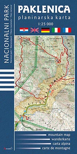

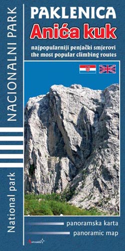
PAKLENICA Mountain map 1: 25 000
CHF 16.80 incl. MwSt.
PAKLENICA – Turistika karta
Touristkarte Tourist map Carta turistica 1:25000
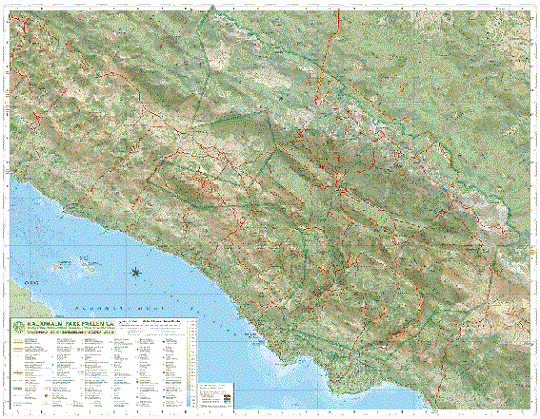
• equidistance (contours) at 10 m intervals
• 51 well-marked hiking trails (with grade, walking time and altitude)
• tips and rules
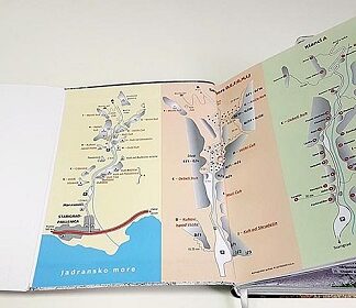
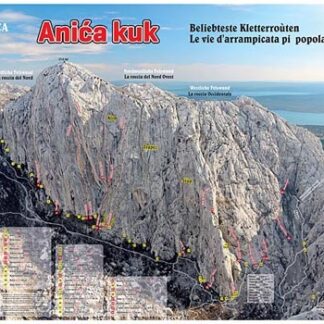
• second side: well illustrated map with a brief description of the most important places of interst
• list of restaurants, mountain huts, accomodation
• photos: Tomislav Marković
Format: 83 x 57 cm, 1st edition 2008.
mountain map • wanderkarte • carta alpina • carte de montagne
| Region | |
|---|---|
| Erscheinungsjahr | |
| Sprache | |
| Autor |
Recommendations on the topic


Hiking / Trekking Guidebooks
CHF 28.50 incl. MwSt.


CHF 19.50 incl. MwSt.

CHF 13.30 incl. MwSt.
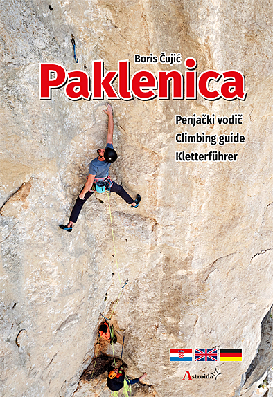
Guidebooks Rock climbing / Bouldering
CHF 49.60 incl. MwSt.
Nicht vorrätig
CHF 22.90 incl. MwSt.
CHF 12.60 incl. MwSt.