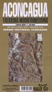
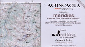
Aconcagua Trekking Map 1:50’000
CHF 24.30 inkl. MwSt.
A very detailed map with satellite photography marked up with contours and
showing trekking routes and intineraries to the summit. Also includes a
trekking circuit based on up-to-date information and GPS compatible with co-
ordinates for huts/refuges.
50 Meter countour lines, satellital view.
| Region | |
|---|---|
| Erscheinungsjahr | |
| Sprache | |
| Autor |
Empfehlungen zum Thema
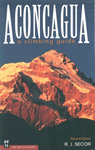
Führerliteratur Alpin Sommer
CHF 35.70 inkl. MwSt.
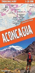
Landkarten
CHF 28.50 inkl. MwSt.
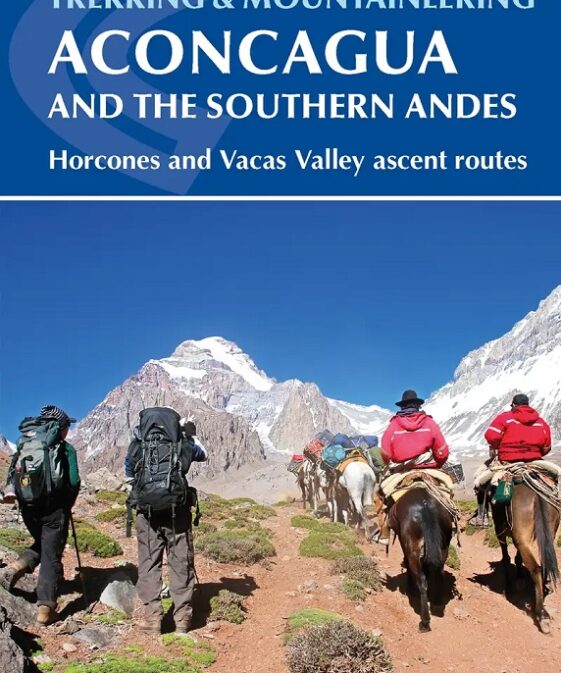

Führerliteratur Alpin Sommer
CHF 33.40 inkl. MwSt.
Landkarten
CHF 30.80 inkl. MwSt.

Landkarten
CHF 25.00 inkl. MwSt.