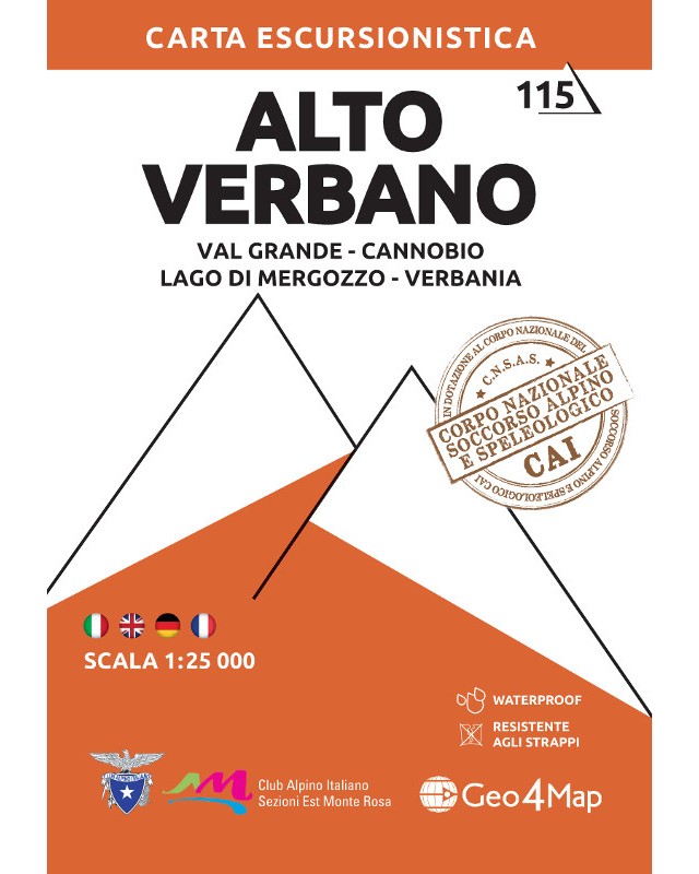
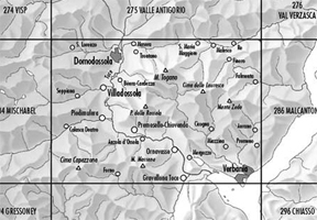
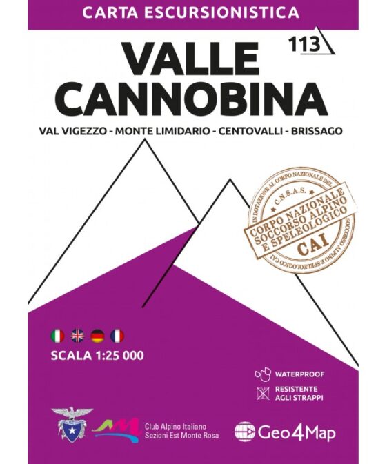
Val Grande, Cannobio, Lago di Mergozzo, Verbania
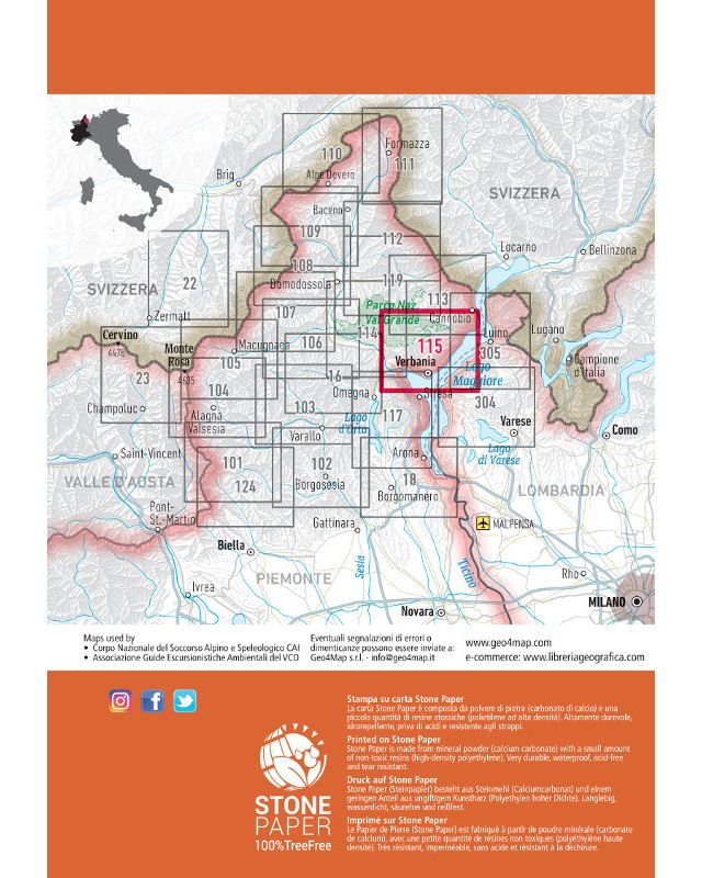
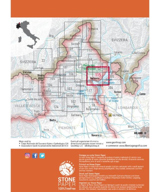
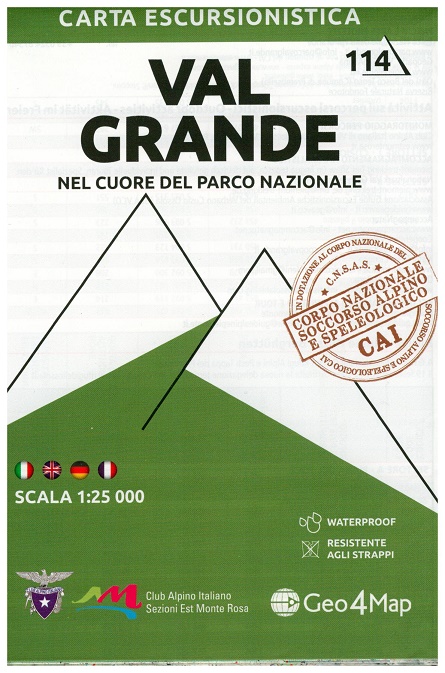
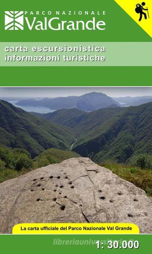
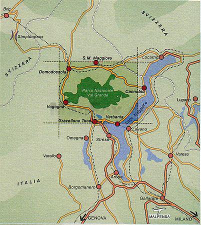
This Map covers the Est part of Val Grande National Park and Alto Verbano area
.
Thanks to the cooperation with «»Club Alpino Italiano»» , Alpine and
Speleological Rescue Team we offers precise and updated mapping of the trails,
with new 2014 numbering and graphic diversification of difficulty ratings.
Cartography adopted by Piedmont National Corps for Mountain and Speleological
Rescue
1:25,000 scale hiking map to Alto Verbano.
Published in association with the CAI, the Italian Alpine Club, who are
responsible for the trails. Trails are marked on the map. The key information
and more detailed information on the rear of the sheet are in Italian, German
and English. Printed on waterproof, tear-proof paper.
Carta escursionistica Alto Verbano N°115 –
Realizzate in scala 1:25.000. Le curve di livello a 20 metri, i particolari
rocciosi disegnati a mano, i colori e i simboli sono solo alcune delle
caratteristiche che permettono di leggere facilmente la cartografia. Nel retro
sono stati inseriti una puntuale tabella dei sentieri e importanti nozioni di
orientamento e primo soccorso in italiano, inglese e tedesco.
| Region | |
|---|---|
| Erscheinungsjahr | |
| Sprache | |
| Autor |
Empfehlungen zum Thema
Landkarten
Landkarten
Wanderführer/ Trekking
Landkarten
Wanderführer/ Trekking
Landkarten


