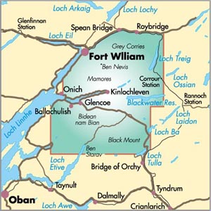
Ben Nevis and Glen Coe – Mountain Map 1: 40 000
CHF 23.40 inkl. MwSt.
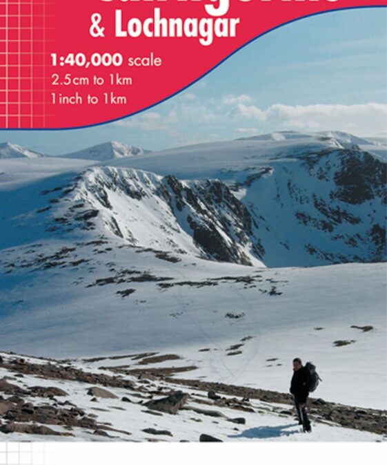
Stunning new map of Ben Nevis and Glen Coe
Printed on polyethylene – durable, tear-resistent and 100% waterproof
Made in cooperation with the British Mountaineering Council and the
Mountaineering Council of Scotland
Colour shading for easy identification of hills and valleys
Detailed crag information for climbers
Section on navigation on Ben Nevis and detailed 1:12,500 enlargement of the
summit with bad visibility descent route
Geological map of Ben Nevis and Glen Coe specially designed by the British
Geological Survey
Mountain incident and first aid advice
Useful local phone numbers and websites
| Region | |
|---|---|
| Erscheinungsjahr | |
| Sprache | |
| Autor |
Empfehlungen zum Thema
Führerliteratur Alpin Sommer
Führerliteratur Sportklettern / Bouldern
Führerliteratur Alpin Sommer
Führerliteratur Alpin Winter
Führerliteratur Alpin Winter
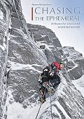
Chasing the Ephemeral – 50 Routes for a Successful Scottish Winter
Führerliteratur Alpin Winter
Scottish Offpiste Skiing & Snowboarding – Nevis Range & Ben Nevis
Landkarten
Zeitschriften
Sachbücher/ Dokumentationen
Wanderführer/ Trekking
Sachbücher/ Dokumentationen
Wanderführer/ Trekking


