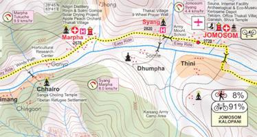
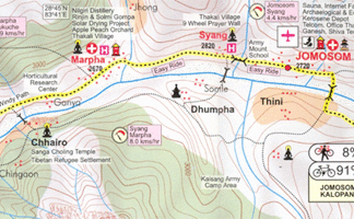
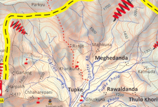
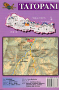
Annapurna Cycling Circuit from Nepa Maps, shown on a series of panels at
1:75,000 with detailed information of the difficulty of the terrain indicating
sections where the bike has to be carried or pushed, overnight stops, altitude
profiles, etc.
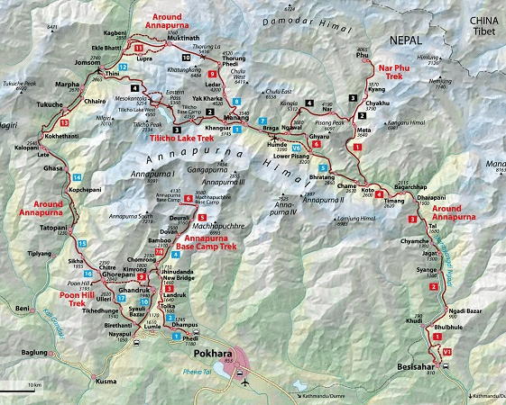
A general map at 1:227,000 with relief shading shows the whole of the Eagle’s
Loop biking circuit from Besisahar anticlockwise to Chame, Manang, Muktinath
and Jomosom, along the Khali Gandaki to Tatopani and Baglung, andthen along
the local roads to Pokhara. The map also shows local hiking routes, including
the Annapurna Circuit and the route to the South Annapurna and Machhapunchhare
Base Camps. Latitude and longitude margin ticks are at 15` intervals.
The route itself is then shown on 14 panels at 1:75,000 with the overprint
indicating easy ride (> 80% ride), a mixture of ride, push and carry, or carry
only sections. The maps have contours at 100m intervals and also include
symbols indicating various places of interest, accommodation and medical
facilities, campsites, etc. Tables and graphs portray altitude changes and
biking time along the route. The map also has an index of localities shown on
the panels.
Empfehlungen zum Thema
Landkarten
Wanderführer/ Trekking
Landkarten
Landkarten
Landkarten
Mountainbikeführer
Mountainbikeführer
Wanderführer/ Trekking
Wanderführer/ Trekking
Trekking the Annapurna Circuit – NATT-Trails (New Annapurna Trekking Trails)


