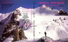
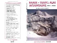
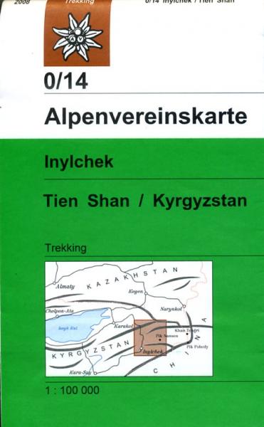
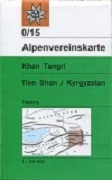
Central Tien Shan (map & guide)
CHF 19.80 inkl. MwSt.
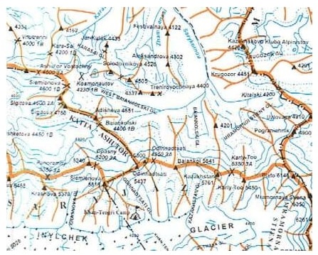
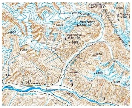
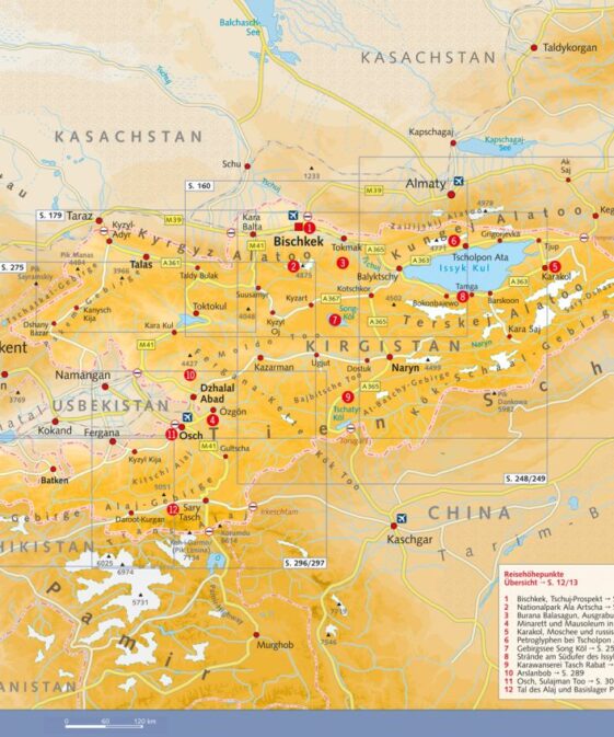
Kurzführer mit Karte 1: 150 000 über Zentral Tian Schan: 1:150,000 – 3 colour
ridge map, 1:2,500,000,000 – 2 colour location map, 3 Mountain Route
Illustrations.
Climate and Weather, Flora and Fauna, Mountain and Valley Bases, Access and
Trekking, History of Exploration, Routes to Summits of Khan Tengri and Pik
Pobiedy.
Concise Information on:
Climate and Weather
Flora and Fauna
Mountain and Valley Bases
Access and Trekking
History of Exploration
Routes to Summits of Khan Tengri and Pik Pobiedy
Maps & Diagrams:
1:150,000 – 3 colour ridge map
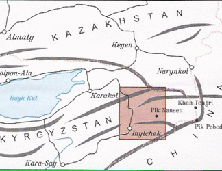
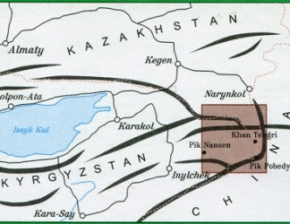
1:2,500,000 – 2 colour location map
3 Mountain Route Illustrations
| Region | |
|---|---|
| Erscheinungsjahr | |
| Sprache | |
| Autor |
Empfehlungen zum Thema
Führerliteratur Alpin Sommer
Video/ DVD/ Multimedia
Wanderführer/ Trekking
Sachbücher/ Dokumentationen
Wanderführer/ Trekking
Landkarten
Wanderführer/ Trekking
Belletristik
Sachbücher/ Dokumentationen
Belletristik


