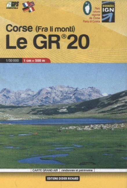
Corse (fra li monti) Le GR 20 1:50’000
CHF 16.90 inkl. MwSt.
Artikelnummer: 207476
Kategorie: Landkarten
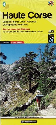
Weitwanderkarte Le GR 20 Corse 1:50.000
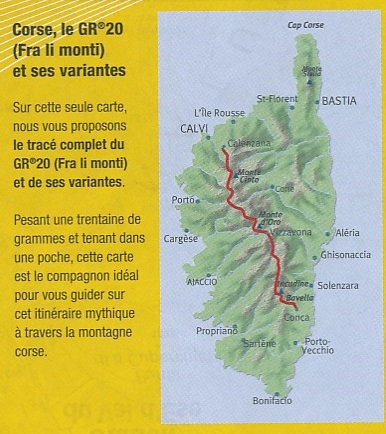
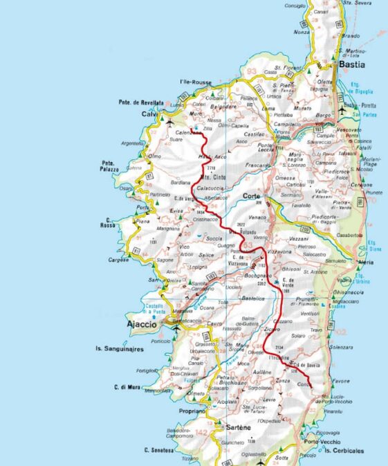
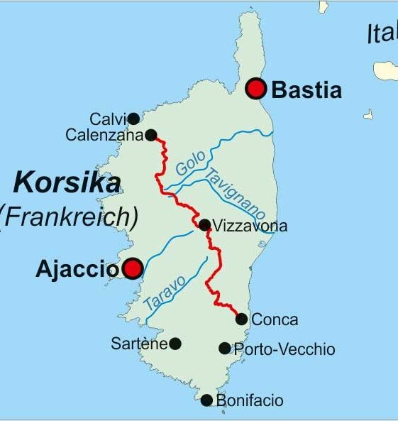
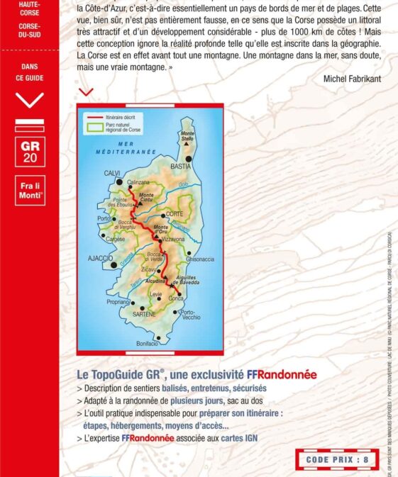
The whole of the GR20 on one pocket sized light weight map.
Tourist information and outdoor activities are marked on the map, GR hiking
trails are all highlighted, Road and rail networks are also shown and it is
compatible with GPS systems.
| Region | |
|---|---|
| Erscheinungsjahr | |
| Sprache | |
| Autor |
Empfehlungen zum Thema
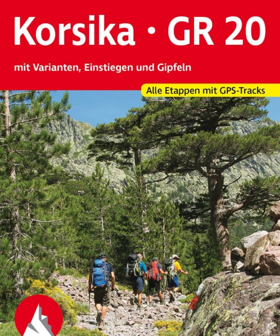
Wanderführer/ Trekking
CHF 23.90 inkl. MwSt.
Wanderführer/ Trekking
CHF 23.90 inkl. MwSt.
Landkarten
CHF 24.00 inkl. MwSt.
Wanderführer/ Trekking
CHF 29.60 inkl. MwSt.
Landkarten
CHF 24.00 inkl. MwSt.


