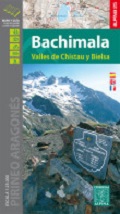
map & guide
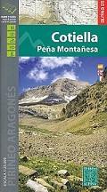
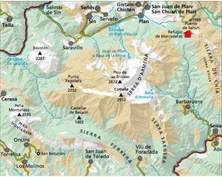
– Hiking map and guidebook (text in Spanish, French & English) centred on
Cotiella in the Pyrenees and also including Pena Montanesa in the south west
corner of the area covered.
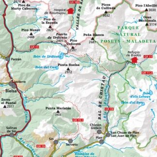
– Map Scale 1:25.000
– Equidistance contours: 10 m distance; Master contours: at 50 m
– Shaded relief
– Compatible with GPS
– Marked routes
– Guidebook with information on hikes, potholing, gully descent, climbing,
mountain biking
| Region | |
|---|---|
| Erscheinungsjahr | |
| Sprache | |
| Autor |
Empfehlungen zum Thema
Führerliteratur Alpin Sommer
CHF 42.30 inkl. MwSt.
Führerliteratur Sportklettern / Bouldern
Escalade à la Peña Montañesa / Escalada en la Peña Montañesa
CHF 26.40 inkl. MwSt.
CHF 31.50 inkl. MwSt.
Landkarten
CHF 24.30 inkl. MwSt.
