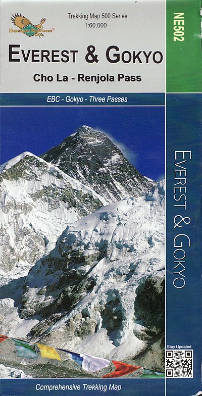
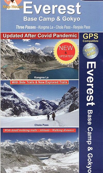
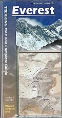
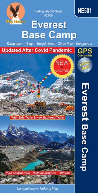
Everest & Gokyo 1:60,000 Map, sheet NE502
Cho La & Renjo Pass
A detailed 1:60,000 scale map showing the area around the Everest Region and
Gokyo, including the Cho La and Renjo passes.
Showing routes from Lulka to Everest Base Camp, Thame, the Renjo Pass,
Pheriche and Gokyo. It has a grid lines with reference numbers and a detailed
English key sheet.
Time taken and height gained from place to place are also shown on a table on
the cover. Two 1:4000 scale maps are included, one of Namche Bazar and one of
Lukla, showing roads and local amenities.
Empfehlungen zum Thema
Landkarten
CHF 25.50 inkl. MwSt.
Wanderführer/ Trekking
CHF 28.90 inkl. MwSt.
Landkarten
CHF 29.50 inkl. MwSt.
Wanderführer/ Trekking
CHF 29.30 inkl. MwSt.
Landkarten
CHF 24.50 inkl. MwSt.
CHF 24.80 inkl. MwSt.
