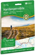
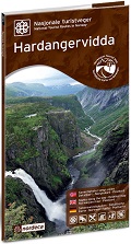
Sheet 3006
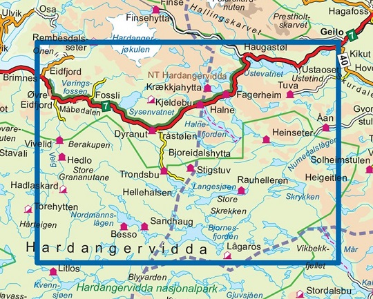
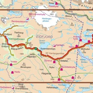
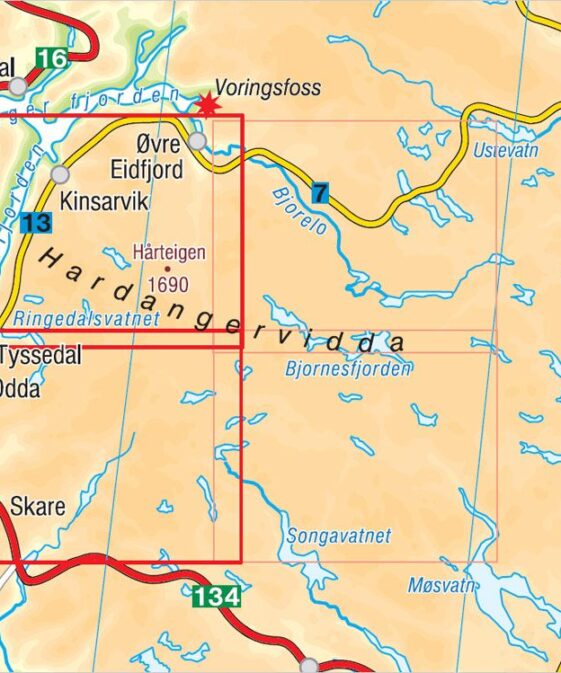
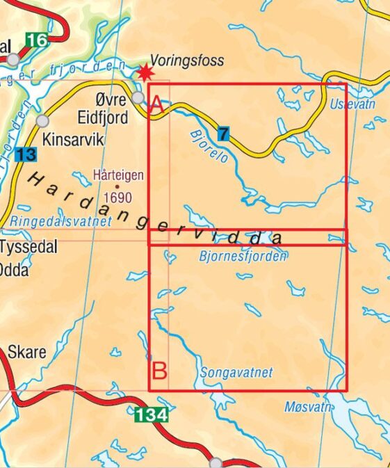
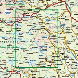
Topo 3000 is a detailed map that covers an area of 64 x 47 km (over
3000km2). Here you will find hiking trails clearly marked, whether they go
over the mountains, through the woods or follow the road. Accommodation sites
are highlighted in order to facilitate planning.
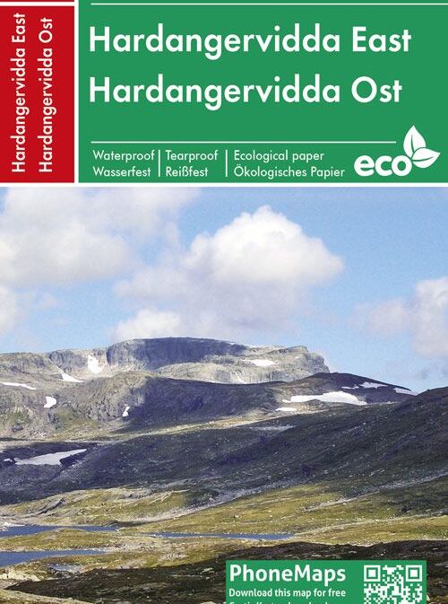
The map covers: Måbødalen – Vøringsfossen – Dyranut – Halne – Mårbu
– Detailed and easy to read
– Covers over 3000km2
– Scale: 1:50 000
– Water resistant and hard use
– Clear marked hiking trails
– Cabins and Accommodations
| Region | |
|---|---|
| Erscheinungsjahr | |
| Sprache | |
| Autor |
Empfehlungen zum Thema
Landkarten
CHF 28.90 inkl. MwSt.
CHF 29.00 inkl. MwSt.
Wanderführer/ Trekking
CHF 25.50 inkl. MwSt.
Wanderführer/ Trekking
CHF 22.50 inkl. MwSt.
Landkarten
CHF 28.90 inkl. MwSt.
CHF 27.50 inkl. MwSt.
CHF 27.50 inkl. MwSt.
Landkarten
CHF 28.90 inkl. MwSt.


