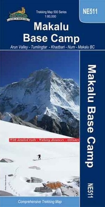
MAKALU Base Camp (NE511)
ARUN VALLEY – TUMLINGTAR – KHADBARI – NUM – MAKALU BASE CAMP
A detailed 1:80,000 map fo the region around Makalu basecamp. The map covers a
large ranges of hieghts above sea level, from 500m to 4400 meters above sea
level.
The suggested 11-16 day routes goes via, Tumlingtar, Khandbari, Mudhe, Num,
Seduwa, Tashigaon, khongma, Shipton La, Tutu La, Mumbuk, Merek, Shershon,
Makalu.
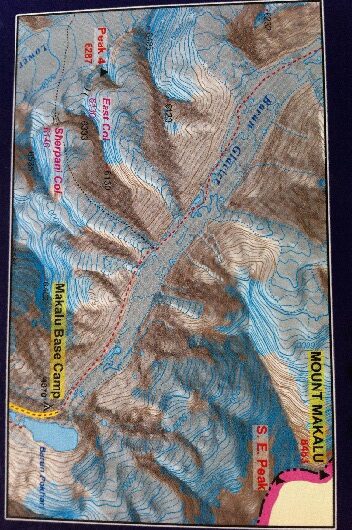
Trekking route from Tumlingtar to the Makalu Base Camp presented on a map at
1:80,000 from Nepa Maps, plus other routes across the Makalu Barun National
Park. Coverage extends from Tumlingtar to the Island Peak in the north-western
corner and Barun Dovan in the east. Contours are at 40m intervals. Margin
ticks show latitude and longitude at intervals of 5′. The index lists places,
peaks, base camps, passes and lakes. Additional information includes a profile
of the main route.
Empfehlungen zum Thema
Führerliteratur Alpin Sommer
Landkarten
Landkarten
Landkarten
Landkarten
Sachbücher/ Dokumentationen
Shipton & Tilman – The Great Decade of Himalayan Exploration
Landkarten


