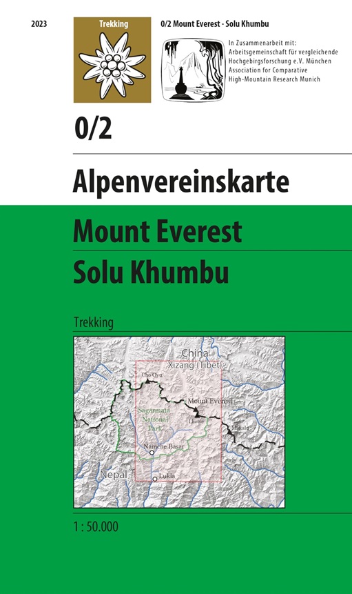
Mount Everest – Solu Khumbu 1:50’000
CHF 21.50 inkl. MwSt.
AV 0/2 Expeditions/Trekkingkarte
Seit 1957, vier Jahre nach der Erstbesteigung, gibt es eine Alpenvereinskarte vom Gebiet des Mount Everest und Cho Oyu. Eine neue Auflage, erstellt in Kooperation mit der Arbeitsgemeinschaft für vergleichende Hochgebirgsforschung e.V. München, ist im August 2023 erschienen.
Die Neuauflage im Maßstab 1:50 000 erscheint als Jubiläumskarte anlässlich des 70ten Jahrestages der Erstbesteigung des Mount Everest.
Photogrammetrische Aufnahme und Auswertung des Alpenvereins im Zuge der Deutsch-Österreichischen Himalayaexpedition 1954 und der Deutschen Karakorumexpedition 1959.
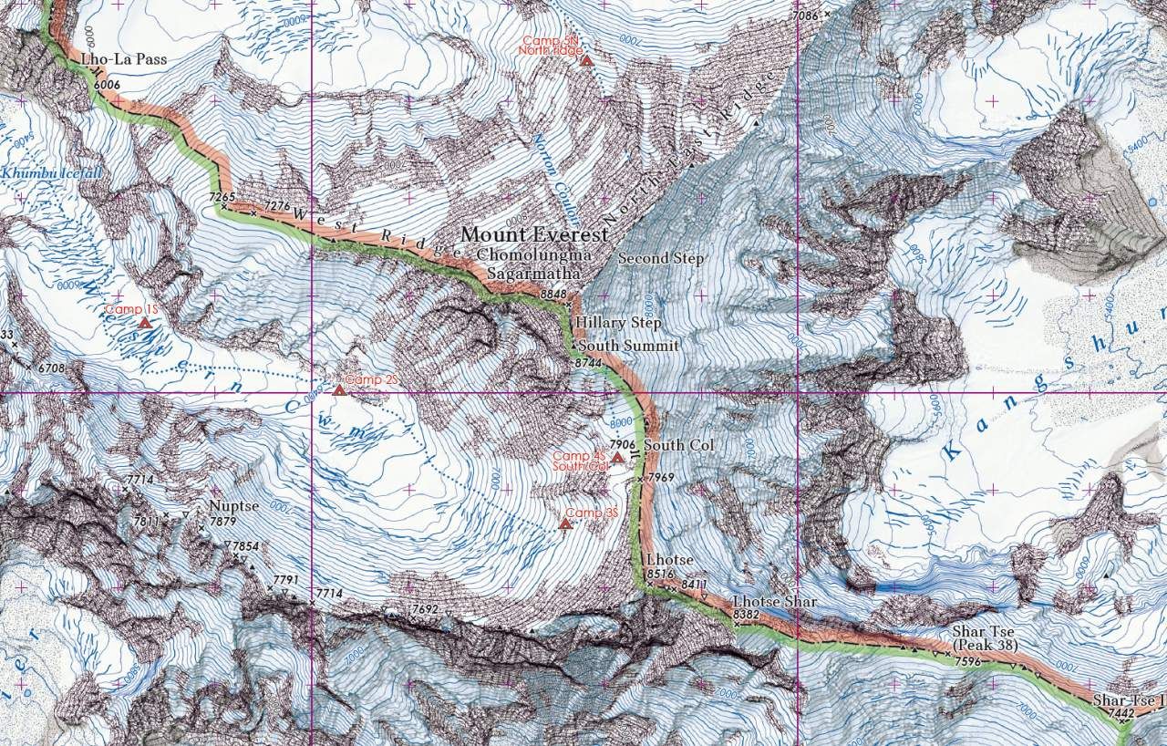
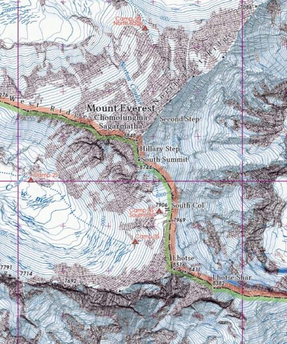
Höhenlinienabstand: 100m
Anzahl der Farben: 7
Format des Karteninhalts: 77cm x 59cm
Topographische Karte 1:50.000 vom Gebiet um den Mount Everest, mehrfarbig, deailliert, mit Höhenlinien, Felsdarstellung, Schummerung.
| Autor | |
|---|---|
| Erscheinungsjahr | |
| Region | |
| Sprache |
Empfehlungen zum Thema

Landkarten
Wanderführer/ Trekking
Landkarten
Führerliteratur Alpin Sommer
Landkarten

Landkarten