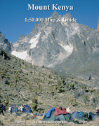
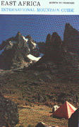
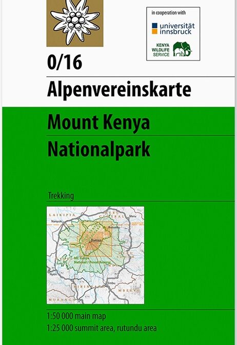
Mt Kenya (Map and Guide)
CHF 24.50 inkl. MwSt.
Vergriffen
Artikelnummer: 202003
Kategorie: Landkarten
Karten 1: 25 000/ 1: 50 000, Topos, Ansichtsskizzen, Infos zu Routen,
Gefahren, Organisation, Fauna Flora und Geologie.
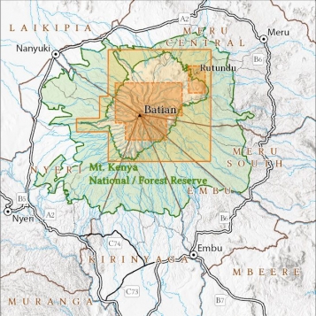
1:50,000- 4 colour topographical map of the National Park Area
1:25,000- 4 colour topographical map of the Peak Area
1:400,000- Map of roads around Mount Kenya
Also several climbing route diagrams, Information in German, French and
Italian.
Geology and Glaciology, Flora and Fauna, Medical Aspects, Weather and Climate,
Access and Walking Routes, Climbing Routes, Porters, Cooking and Food,
Accommodation, Useful Contacts
Empfehlungen zum Thema
CHF 25.50 inkl. MwSt.
Führerliteratur Alpin Sommer
CHF 37.60 inkl. MwSt.
Führerliteratur Alpin Sommer
CHF 21.20 inkl. MwSt.
Führerliteratur Alpin Sommer
CHF 39.80 inkl. MwSt.
Belletristik
CHF 19.80 inkl. MwSt.
Führerliteratur Alpin Sommer
CHF 33.20 inkl. MwSt.
Landkarten
CHF 24.50 inkl. MwSt.
