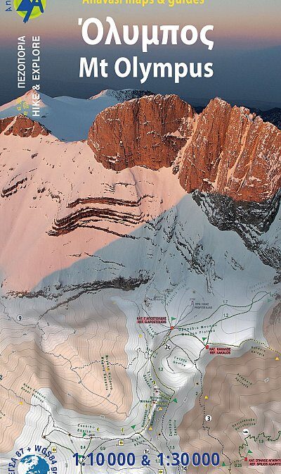
Mt. Olympus 1: 30’000 / 1:10’000
CHF 23.50 inkl. MwSt.
Hiking map 6.11 to Mt Olympus in a scale 1:30 000 and summit Mitikas in a scale of 1:10 000
Mount Olympus is the highest mountain in Greece with an altitude of 2917m, and in ancient times it was considered worthy to be the house of the Gods.
Olympus (or Olibos, Olympe, Olympos, Olimbos, Olymp) is a rock tower shaped by wind and rain directly of the seashore, its unique geography is perhaps the reason for the diversified and endemic flora.
Inspired by its unique nature, we made a unique map for mount Olympus.
A map like no other: one side covers the whole mountain in scale 1:30 000 giving an overview of all the paths crossing the mountain and all access points. The other side is a 1:10 000 close-up to the summits and advanced refuges.
On this new edition of Olympus map find suggested mountain ski routes by Lazaros Botellis.
Printed on waterproof Polyart paper.
Empfehlungen zum Thema
Führerliteratur Alpin Winter
Führerliteratur Alpin Winter
Landkarten
Landkarten
Landkarten
Wanderführer/ Trekking
Wanderführer/ Trekking
Landkarten


