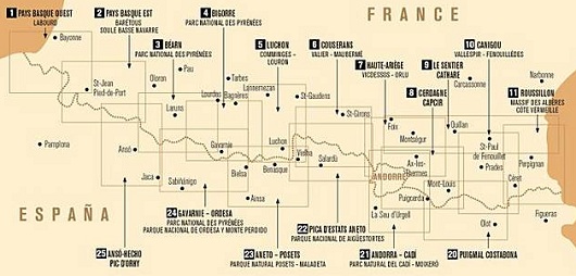
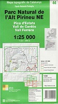
pica d‘ estats-aneto 1: 50 000
CHF 19.80 inkl. MwSt.
Vergriffen
Artikelnummer: 201540
Kategorie: Landkarten
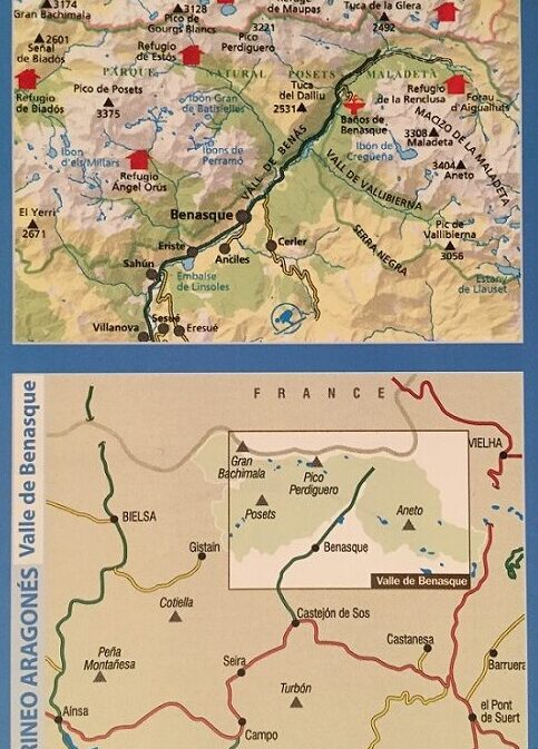
In the series of Randonnees Pyreneennes – this is a map of the Pyrenees on the
Spanish side – A series of seventeen topographical maps, using an IGN base
map, covering the French border with Spain, right through to the
Mediterranean.
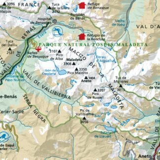
They are ideal for walking, skiing, cycling and horse-riding. They are easy to
use and include relief shading and contour lines.
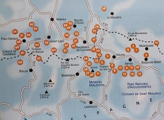
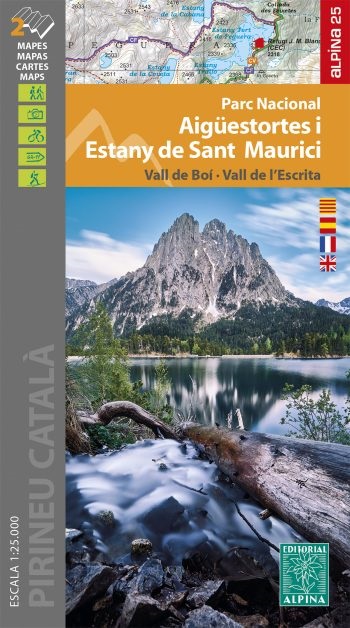
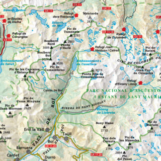
Gebiet: parc nat. d‘ aigüestortes i estany de sant maurici, (carte de
randonnées No. 22)
| Region | |
|---|---|
| Erscheinungsjahr | |
| Sprache | |
| Autor |
Empfehlungen zum Thema
Führerliteratur Alpin Winter
CHF 33.40 inkl. MwSt.
Führerliteratur Alpin Winter
CHF 24.40 inkl. MwSt.
CHF 32.50 inkl. MwSt.
Landkarten
CHF 25.00 inkl. MwSt.
Landkarten
CHF 28.50 inkl. MwSt.
Führerliteratur Alpin Sommer
CHF 42.30 inkl. MwSt.
Führerliteratur Alpin Sommer
CHF 27.00 inkl. MwSt.
CHF 26.00 inkl. MwSt.


