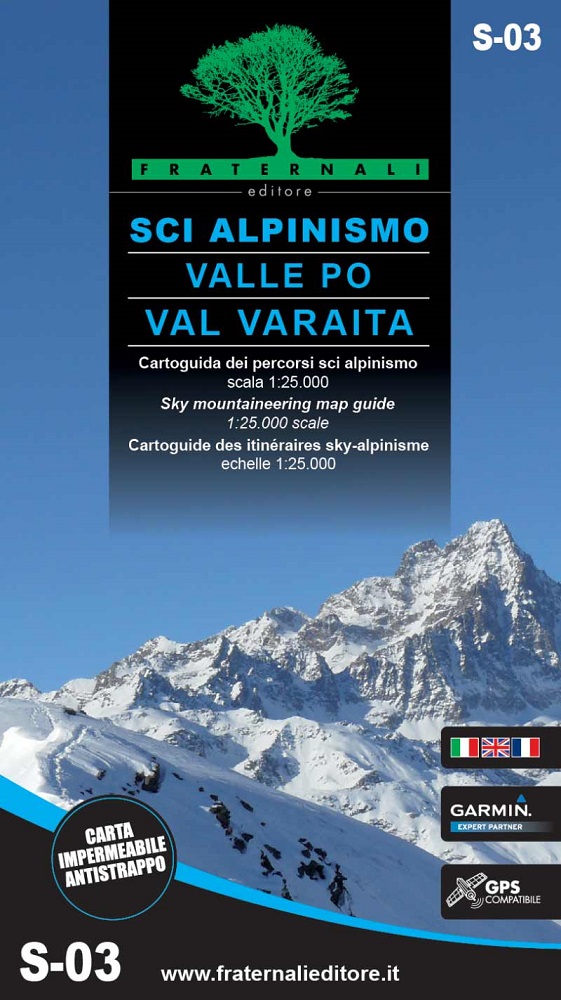
Sci alpinismo in Valle Po e Val Varaita 1:25’000 – Blatt S-03
CHF 24.00 inkl. MwSt.
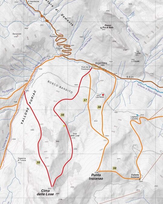
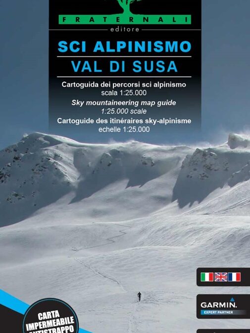
Questa carta vuole colmare un vuoto di molti anni, fornendo un supporto tascabile da portare in ogni gita nelle Valli del Monviso.
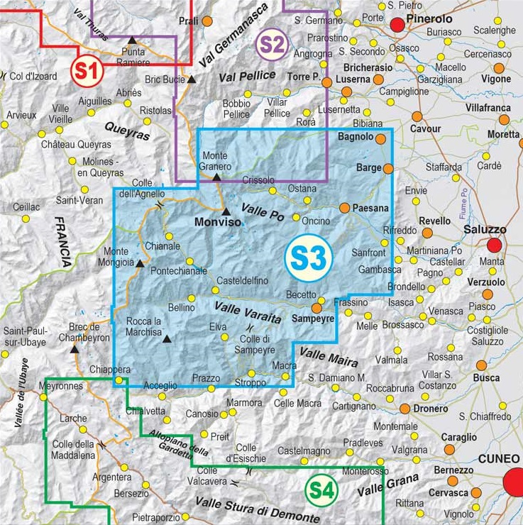
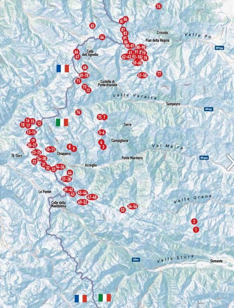
Dalla Valle Po alla Valle Varaita non tralasciando il famoso Giro del Monviso passando per la francese Valle del Guil, sempre con la sagoma del Re di Pietra sullo sfondo.
Gli itinerari proposti vogliono dare una soluzione per ogni tipologia di sciatore, da inizio a fine stagione, spaziando dalle quote più basse fino alle molte cime oltre i 3000 metri.
DATI TECNICI
- 65 gite, che offrono la possibilità di spaziare, tra la breve passeggiata e la gita più impegnativa e intensa, fino a raggiungere le pendenze sostenute ed emozionanti dello sci ripido
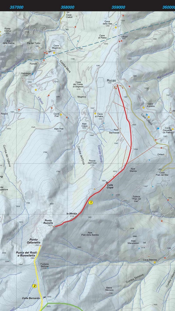
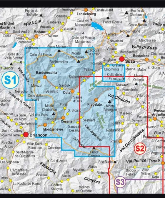
- Cartografia alla scala 1:25000
- Itinerari classificati sia in Scala Volo che Scala Blachère
- Tutte le informazioni sci-alpinistiche organizzate in pratiche tabelle
- Stampata su entrambe i lati, utilizzando fogli di polipropilene leggerissimo, impermeabile, antistrappo e riciclabile. Non appesantisce lo zaino, e all’occorrenza potrà essere comodamente consultata anche se i guanti sono umidi!
- Questa carta contiene, inoltre, un reticolato metrico indicato in cornice secondo la proiezione UTM WGS84.
S-03 Ski mountaineering in Po and Varaita Valleys
This card wants to fill a gap of many years, providing a pocket support to take on every trip in the Monviso Valleys.
From the Po Valley to the Varaita Valley, not forgetting the famous Giro del Monviso passing through the French Valle del Guil, always with the silhouette of the Stone King in the background.
The proposed itineraries want to give a solution for every type of skier, from the beginning to the end of the season, ranging from the lowest altitudes to the many peaks over 3000 meters.
TECHNICAL DATA
65 excursions, that offer the possibility to space, between the brief walk and the most challenging and intense trip, up to reach the sustained and exciting inclinations of the skiing
Cartography in scale of 1:25000
Routes classified in Volo Scale and Blachère scale
All the Ski mountaineering info organized in serviceable tables.
Printed on both sides, using very light polypropylene sheets, waterproof, tear-resistant and recyclable. For a not heavy backpack, a guide you can use also if you have wet gloves!
This paper has also a metric grid shown in a frame according the UTM WGS84 projection.
| Autor | |
|---|---|
| Erscheinungsjahr | |
| Region | |
| Sprache |
Empfehlungen zum Thema
Landkarten
Landkarten
Führerliteratur Alpin Winter
Führerliteratur Alpin Winter
Führerliteratur Alpin Winter
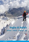
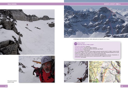
VOGLIA DI RIPIDO 3 – Scialpinismo e sci ripido in Maira, Ubaye, Varaita, Po
Landkarten
Führerliteratur Alpin Winter
Sci alpinismo dal Colle della Maddalena al Monviso (Italia – Francia)


