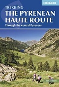
The Pyrenean Haute Route – Through the Central Pyrenees
CHF 38.90 inkl. MwSt.
Vergriffen
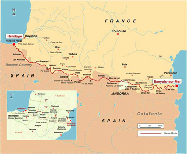
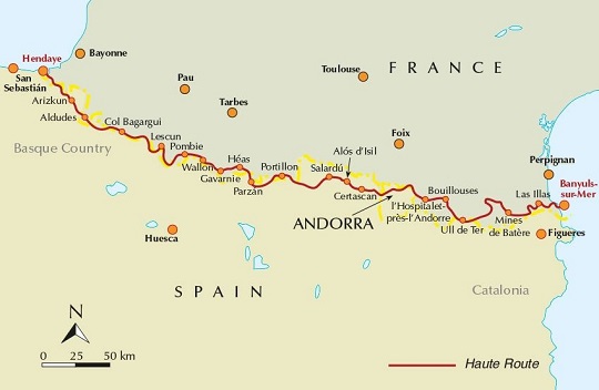
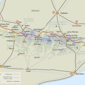
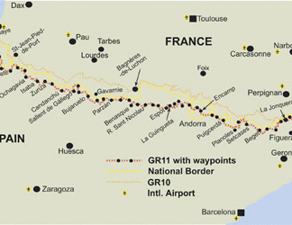
The Pyrenean Haute Route is a long-distance footpath from the Atlantic to the
Mediterranean that follows the main ridge of the Pyrenees. It covers 800km of
spectacular and challenging trekking through the highest and best of the
Pyrenees. The route is described in 45 day stages and is largely unwaymarked.
Furthermore, throughout the route, there are numerous alternative routes that
allow you to avoid a difficult section, should weather conditions not be in
your favour.
Detailed guide to 800km trek along the Franco-Spanish border, from Hendaye to
Banyuls-sur-Mer. The unwaymarked route is described in 45 days, with 500 GPS
waymarks, information on villages, mountain huts, guesthouses, hotels and
campsites and variant routes to avoid difficult sections. Also ascents of ten
classic Pyrenean summits beside the route.
The guide includes:
-800km of spectacular and challenging trekking through the highest and best of the Pyrenees
-the unwaymarked route described in 42 day trails
-70 pages of mapping and route profiles, plus outstanding photography
-practical information on villages, mountain huts, guesthouses, hotels and campsites
-variant routes and the ascents of ten classic summits.
Empfehlungen zum Thema
Wanderführer/ Trekking
Wanderführer/ Trekking
Wanderführer/ Trekking
Wanderführer/ Trekking


