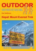
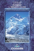
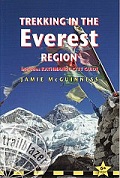
Trekking in Nepal: Everest
CHF 29.30 inkl. MwSt.
Fehlt kurzfristig an Lager. Lieferbar in ca. 10 Tagen.
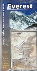
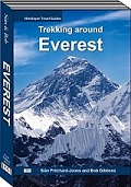
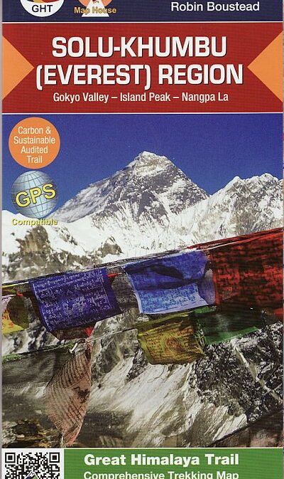
Everest: Trekking map & Complete Guide
illustrated handbook for this classic trek with a detailed 1:75,000 foldout
map and over 150 color photographs. The guide comes packed with exhaustive
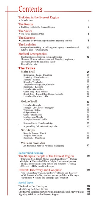
day-by-day description of the Everest trails: Lukla – Kala Patthar/Everest
Base Camp, Jiri-Lukla and Gokyo
There is, in addition, practical advice on planning and organizing the trek
with a chapter on how to tackle medical emergencies.
Plus background reading on the Sherpas, the people who live in the shadow of
Everest and who have, over the years, formed the backbone of countless
Himalayan expeditions
Comprehensive, illustrated guidebook for treks in the Everest region of Nepal
that comes with a detailed, easy-to-read foldout trekking map. With some 150
color pictures and over a dozen section maps (apart from the fold-out map at
the back), the guidebook is packed with exhaustive day-by-day descriptions of
the popular Everest trails: Lukla-Kala Patthar/Everest Base Camp; Gokyo-ChoLa
Pass; Side-trips to Thame, Chukhung and over RenjoLa Pass; Jiri-Lukla walk-in.
There is, in addition, practical advice on planning the treks, plus background
reading on the Sherpas, the people who live in the shadow of Everest, and an
entire chapter on the fascinating history of the discovery and conquest of Mt
Everest.
Empfehlungen zum Thema
Landkarten
Landkarten
Wanderführer/ Trekking
Wanderführer/ Trekking
Landkarten
Landkarten
Landkarten
Landkarten
Wanderführer/ Trekking
Wanderführer/ Trekking
Wanderführer/ Trekking
Wanderführer/ Trekking
Wanderführer/ Trekking


