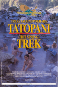
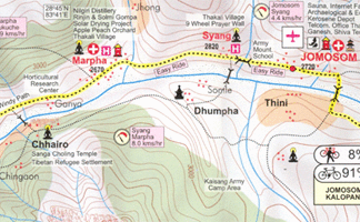
Treks around Pokhara – Tatopani Trek 1:50’000
CHF 19.20 inkl. MwSt.
Artikelnummer: 206199
Kategorie: Landkarten
Hot Spring Trek
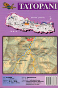
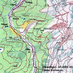
Trekking map of the hot springs area north-west of Pokhara, including
Ghandrung and Poon Hill and extending west beyond the Kali Gandaki River to
Tatopani (Dhaulagiri). Contours are at 40m intervals, with relief shading and
vegetation colouring. Index lists places and passes. Margin ticks show
latitude and longitude at intervals of 5’. Additional information includes
tables showing the routes in stages with altitudes in metres and feet and
trekking times.
Empfehlungen zum Thema
Landkarten
CHF 29.40 inkl. MwSt.
Landkarten
CHF 21.50 inkl. MwSt.
Landkarten
CHF 29.50 inkl. MwSt.
Landkarten
CHF 23.00 inkl. MwSt.


