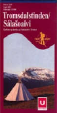
Tromsdalstinden / Salasoaivi 1:25`000
CHF 28.90 inkl. MwSt.
Turkart 2605
Tromsdalstinden (Salasoaivi), herausgegeben vom norwegischen Verlag Ugland IT,
deckt das Fjellgebiet unmittelbar östlich von Tromsø ab.
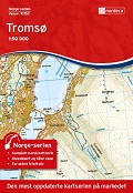
Topographische Karten Norwegen, Statens Kartverk Hauptkartenserie 1:50.000 und
N50 Kartdata, vergrößert auf 1:25.000
These are popular maps of the major tourtist areas of Norway at various
scales.
They include footpaths, ski routes, bicycle routes as well as tourist cabins,
places of interest including golfing, fishing and climbing. The maps also
include contours, lakes and rivers etc. Some of the maps are classified as
Summer maps or winter maps, or they may be divided into east and west
versions.
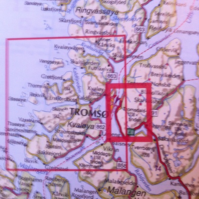
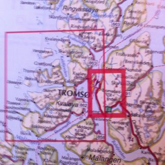
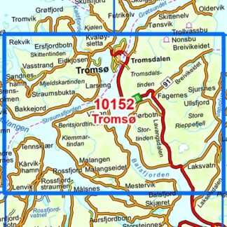
Blattschnitt siehe untenstehendes Bild (fetter roter Rahmen)!
| Region | |
|---|---|
| Erscheinungsjahr | |
| Sprache | |
| Autor |
Empfehlungen zum Thema
Landkarten
Führerliteratur Alpin Winter


