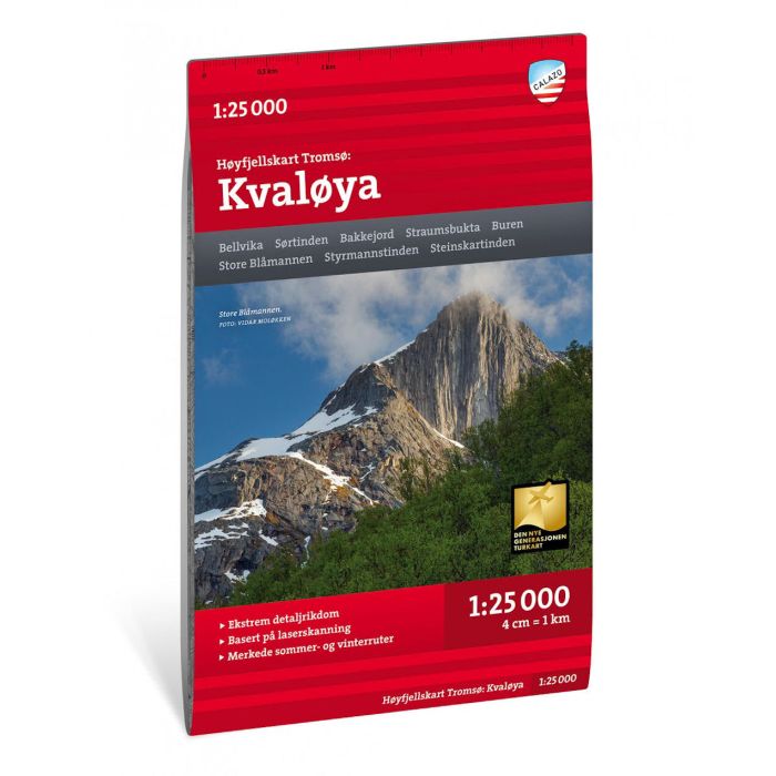
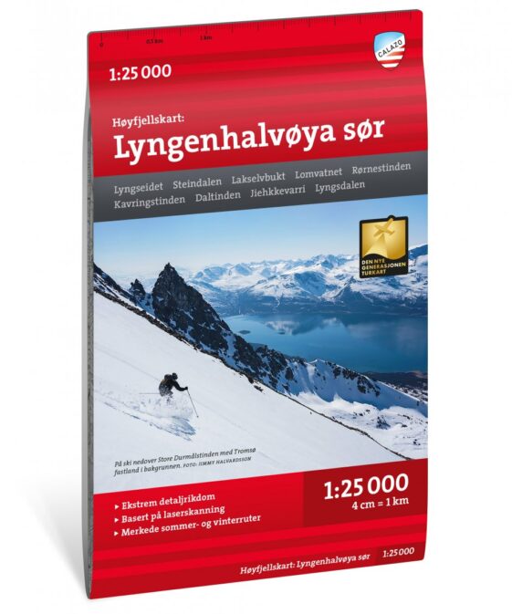
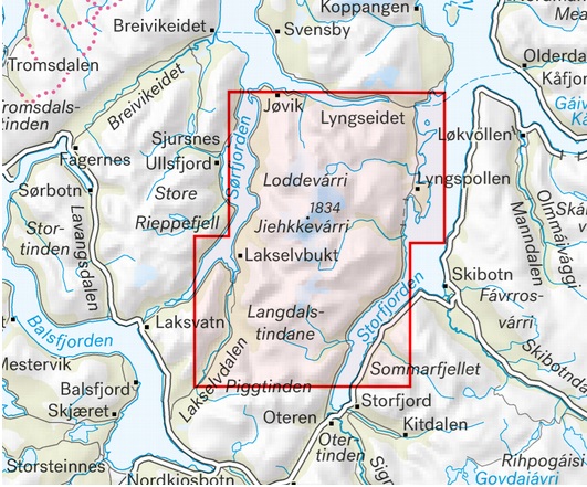
Hoyfjellskart Tromso: Kvaloya 1:25’000
CHF 32.70 inkl. MwSt.
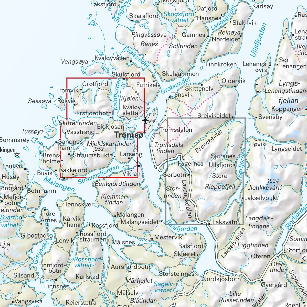
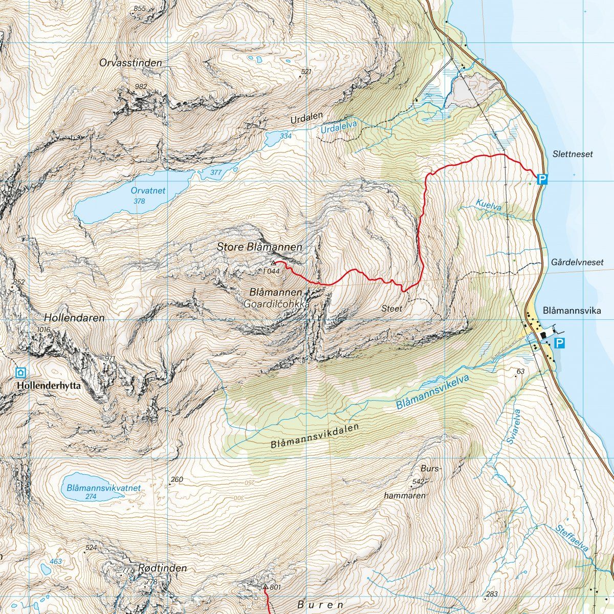
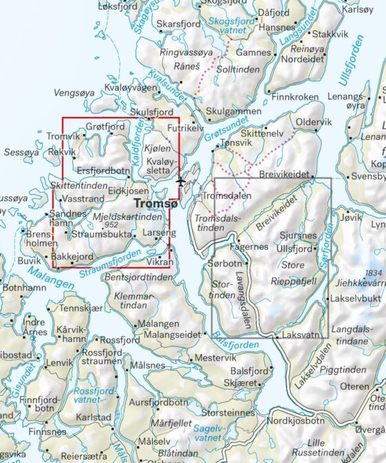
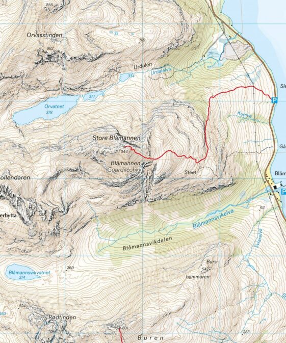
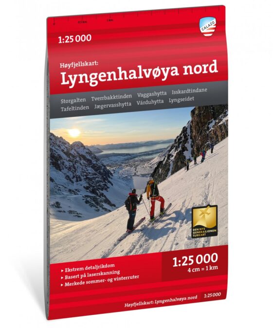
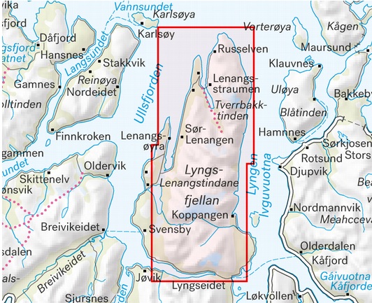
Dette er ett av to unike kart med en detaljrikdom som aldri tidligere er vist over området rundt Tromsø. Terrenginformasjonen i kartet er basert på laserskanning fra fly. Fjellskrenter, vassdrag, breer og andre naturelementer vises mye mer detaljert med denne teknologien.
Et kart i målestokk 1:25.000 er nyttig for deg som planlegger en topptur til Skittentinden (1.042 moh), Store Blåmannen (1.044 moh) eller Hollenderen (1.016 moh).
Kartet vil også kunne brukes av de som ønsker å forlate merkede stier for å utforske egne ruter i høyfjellet.
130 x 207 mm
This is part of the modern map series from Calazo with a wealth of detail that has never before been shown over Kvaløya. The terrain information in the map is based on new data obtained from laser scanning from aircraft. Mountain slopes, waterways and glaciers and other natural elements are shown in much more detail with this technology. The map also contains more trails than any previous map of the same area. A map on a scale of 1:25,000 provides good support for those who go on summit trips, do glacier hiking or in other ways leave the marked paths in the valley floor and find their own routes up in the high mountains. It is made in the material Tyvek, which is water resistant, protected against tears and has a low weight.
| Region | |
|---|---|
| Erscheinungsjahr | |
| Sprache | |
| Autor |
Empfehlungen zum Thema
Landkarten
Landkarten
Führerliteratur Alpin Winter

Führerliteratur Alpin Winter

Führerliteratur Alpin Winter

Führerliteratur Alpin Winter
Landkarten