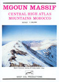
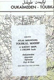
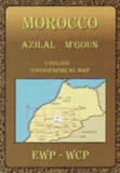
Mgoun Massif
CHF 19.80 inkl. MwSt.
Map 1: 100 000 and guide: Central High Atlas Mountains Marocco. Scetch map and
infos of the region, A color map showing the hiking trails in the Atlas
Mountains.
The map shows ridge lines and spot elevations of the mountains.
Rivers and drainage patterns are also shown. Trekking information is included
on the reverse of the map.
Peaks: Rat, Tignousti, Tarkeddit, Ighil Mgoun, Tizal…
Empfehlungen zum Thema

Landkarten
CHF 17.90 inkl. MwSt.
Nicht vorrätig
Wanderführer/ Trekking
CHF 32.90 inkl. MwSt.
Landkarten
CHF 20.00 inkl. MwSt.
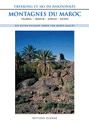
Wanderführer/ Trekking
CHF 39.00 inkl. MwSt.
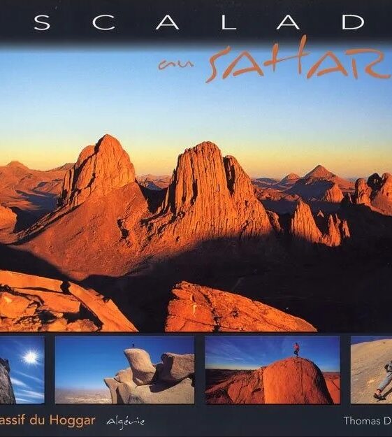
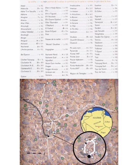
Führerliteratur Sportklettern / Bouldern
CHF 64.70 inkl. MwSt.
Nicht vorrätig
Landkarten
CHF 44.00 inkl. MwSt.

Nicht vorrätig
Landkarten
CHF 24.80 inkl. MwSt.
Sachbücher/ Dokumentationen
CHF 69.70 inkl. MwSt.
Nicht vorrätig
Führerliteratur Alpin Sommer
CHF 14.00 inkl. MwSt.